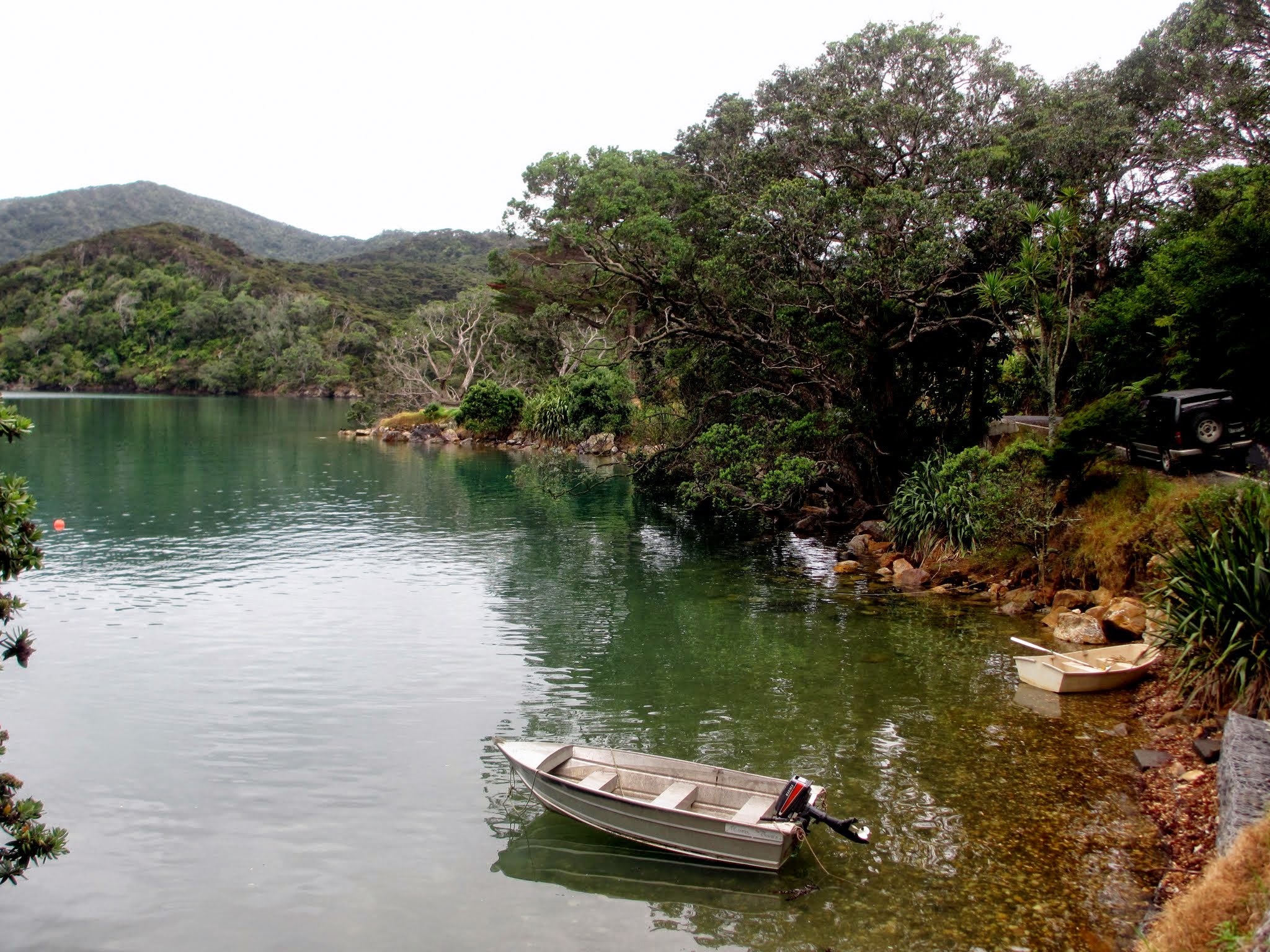
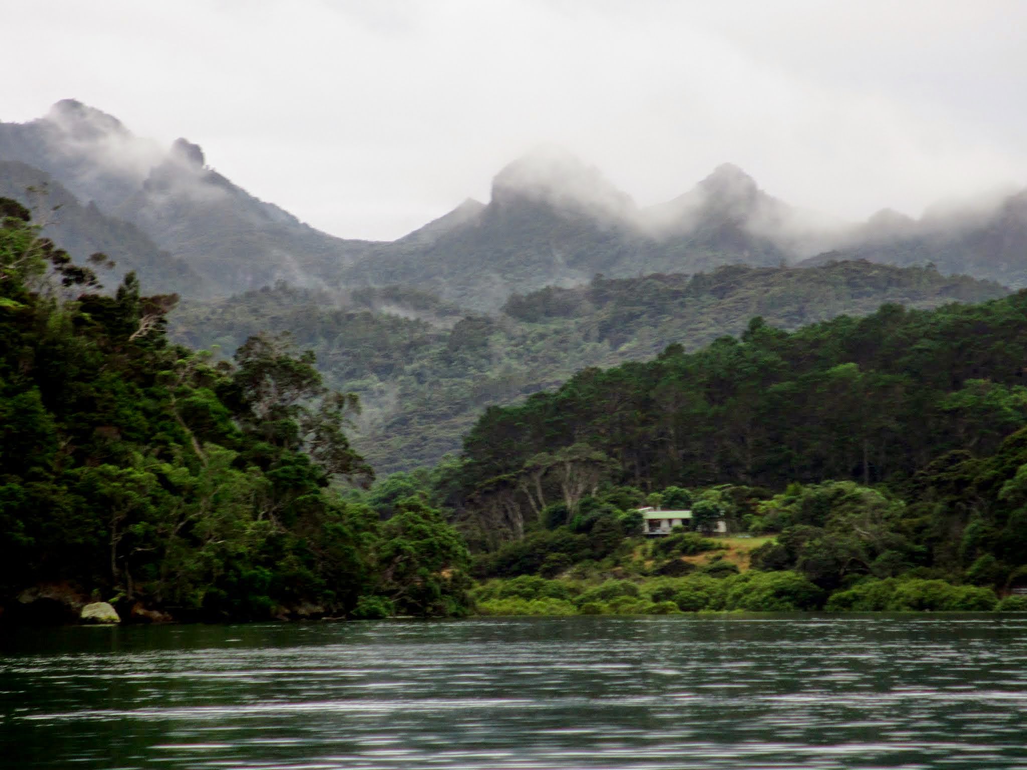
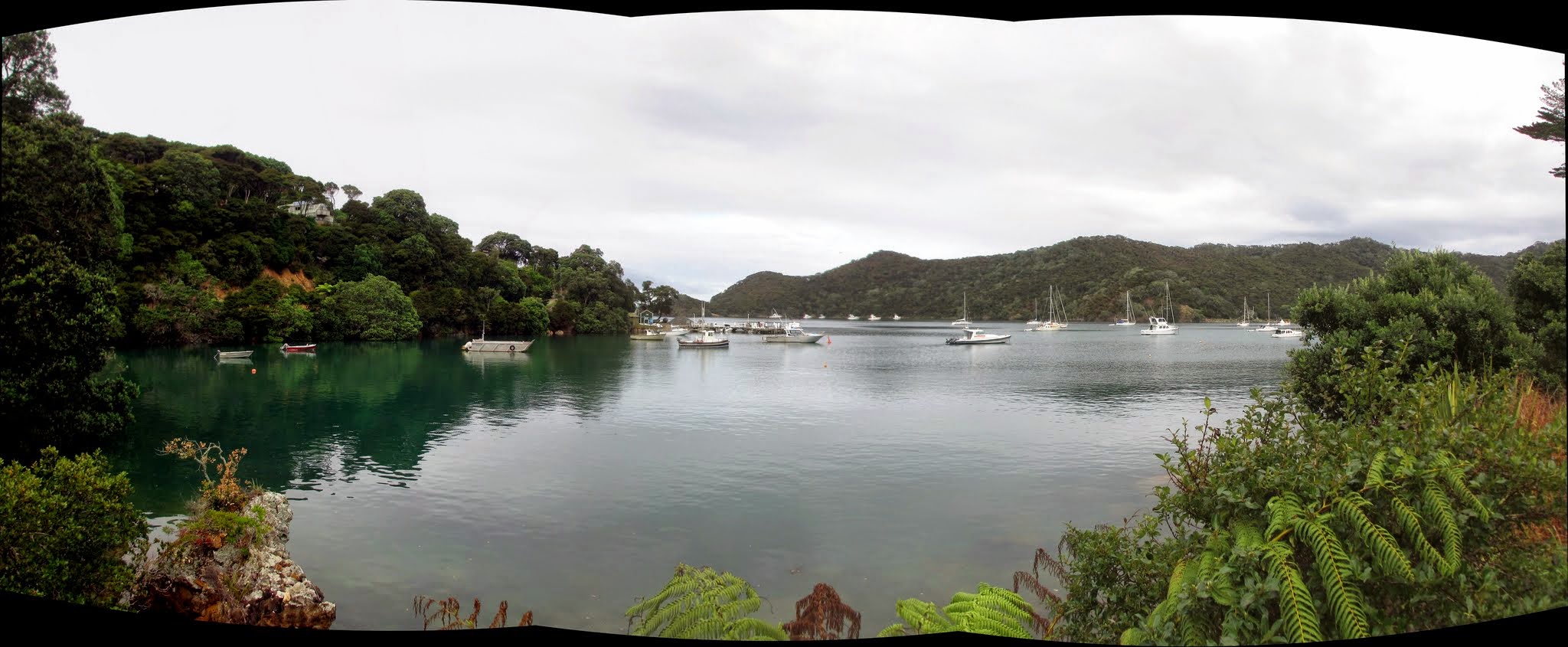
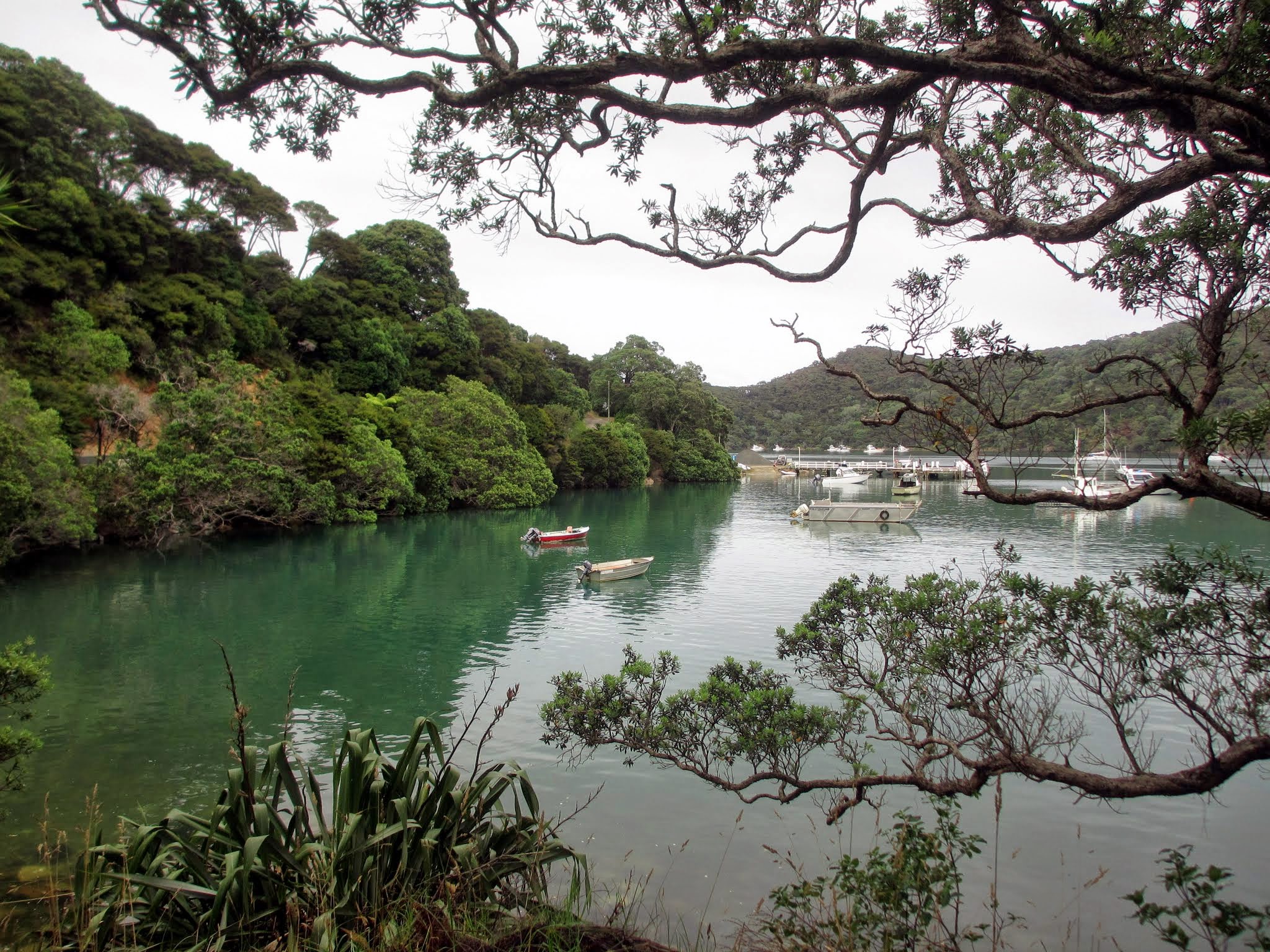
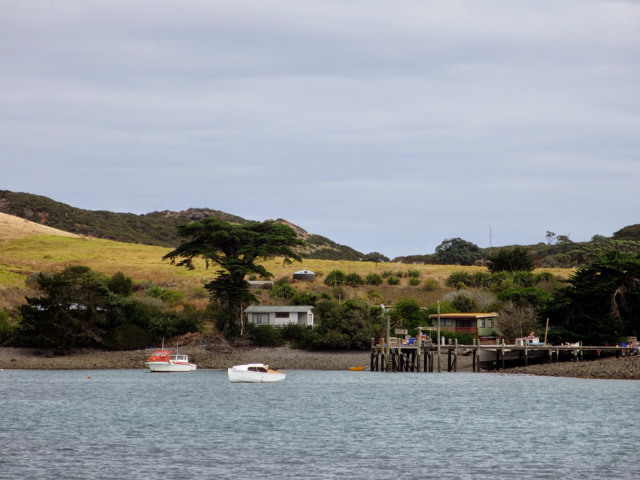
We continued on to our next destination of Whangaparapara, a bay about an hour or so from Port Fitzroy. As we motored into this rather narrow but fairly deep harbor, I was stuck by its beauty and how it reminded me of British Columbia with all it’s lush greenery and tall mountains.
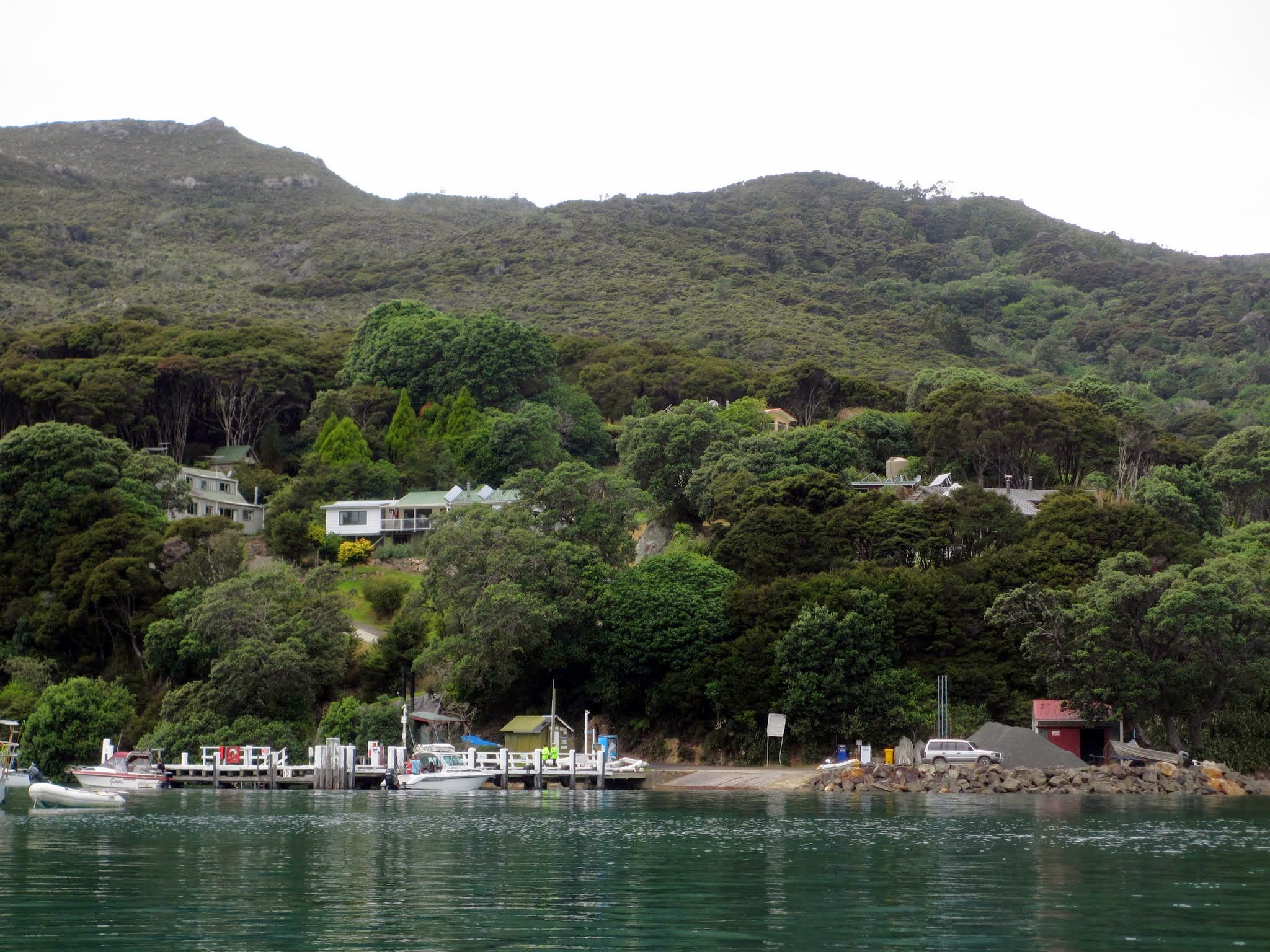
We had no problem finding a place to anchor, then got permission to tie our dinghy to the fuel dock. Like Port Fitzroy, Whangaparapara has a very tiny town with a shop, a fuel dock, and a small lodge with a cafe down the road. Scattered houses peek out from the thick greenery on the hillsides. I would imagine this small community is very close knit.
We meandered down the lushly vegetated road that ran along the base of the hills by the shoreline. Pohutukawa trees lined the road, some growing out over the water. The dark gray sky was the perfect backdrop for all this greenery.
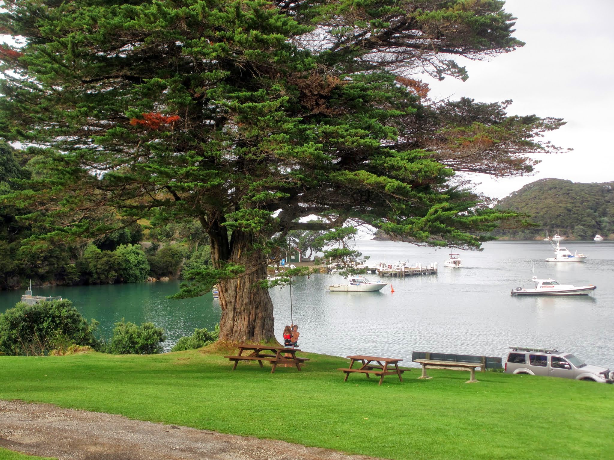
We ended up at the expansive front lawn of the lodge and made our way to the deck after trying out the tree swing. We ordered coffee drinks and (wonderful) custard and jam tarts and had a seat on the covered deck overlooking the harbor. I found this place enchanting and was glad we had decided to stop here.
Above is a gallery of photos from Whangaparapara Harbour. As always, click to enlarge and scroll.–Cyndi
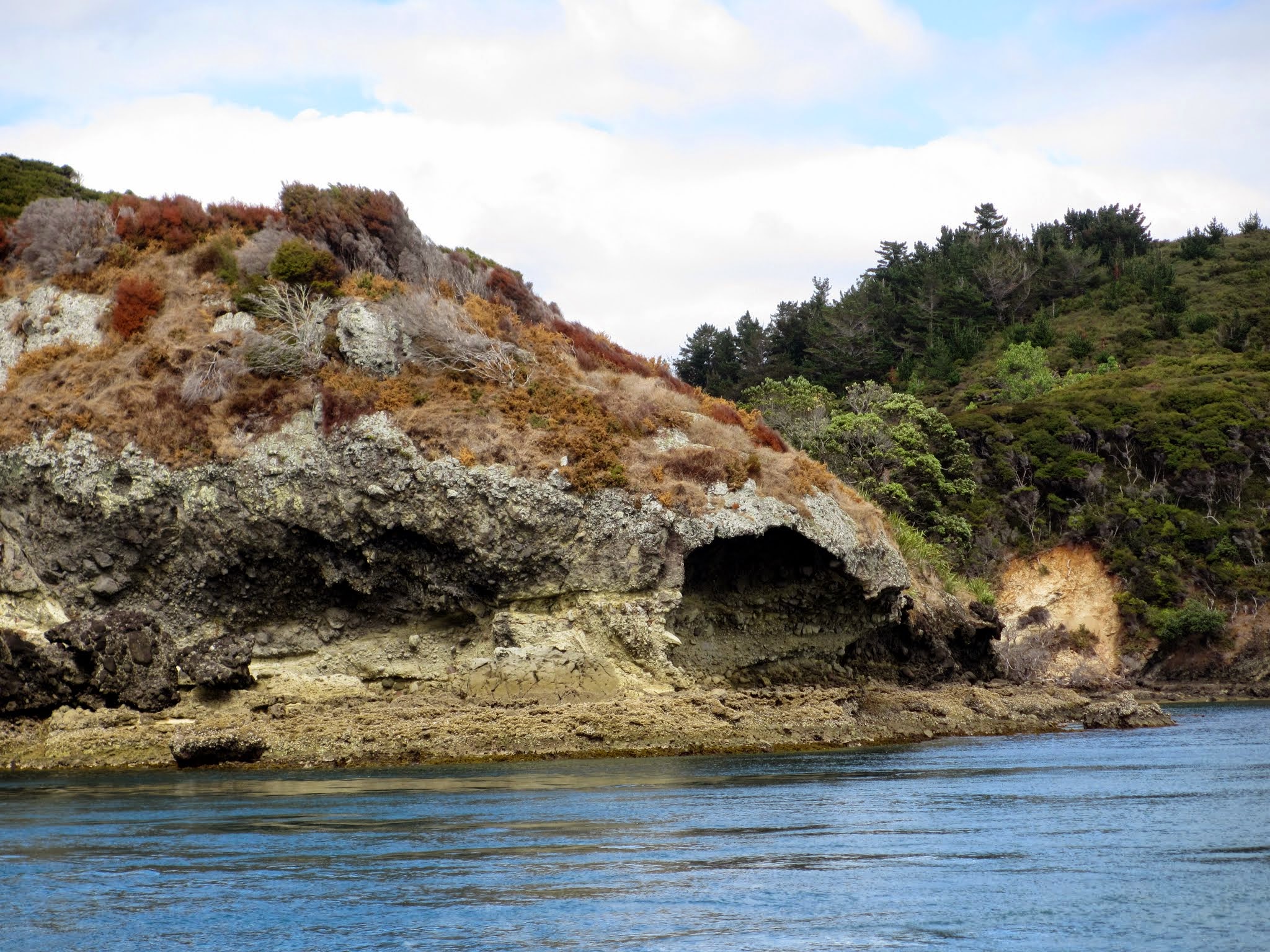
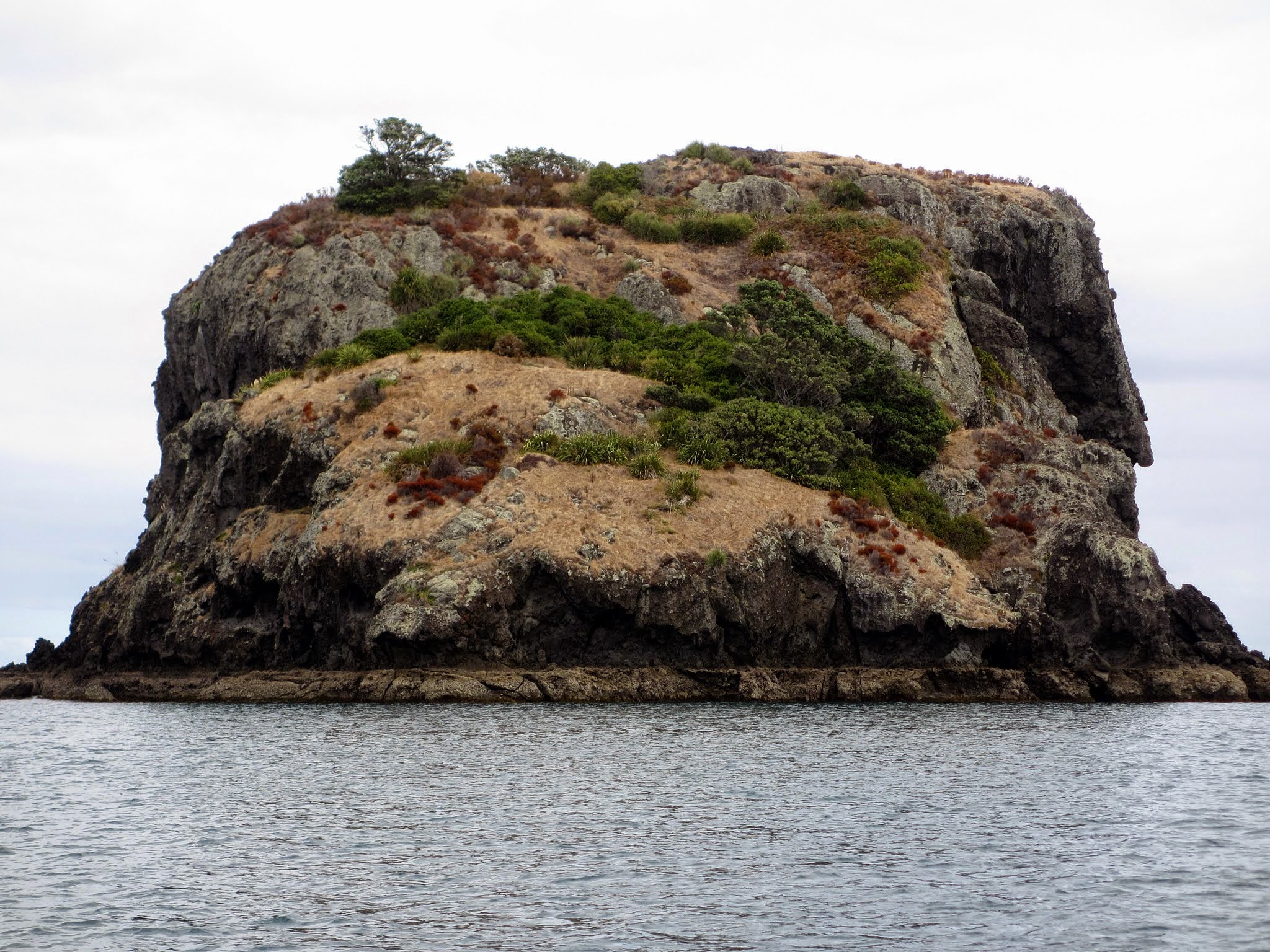
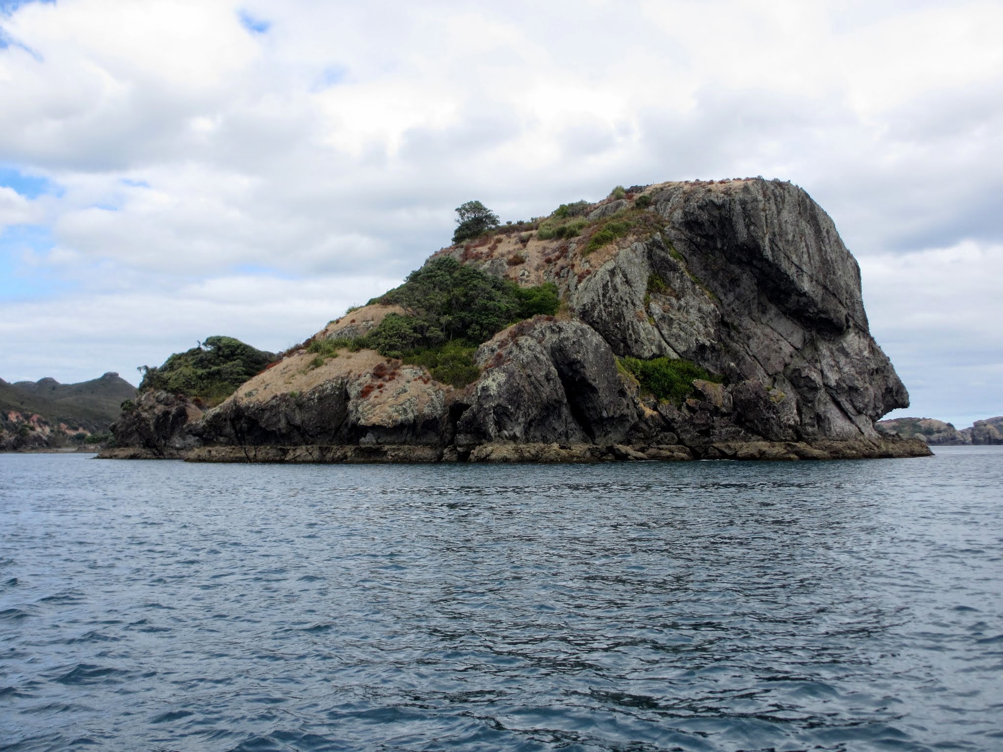
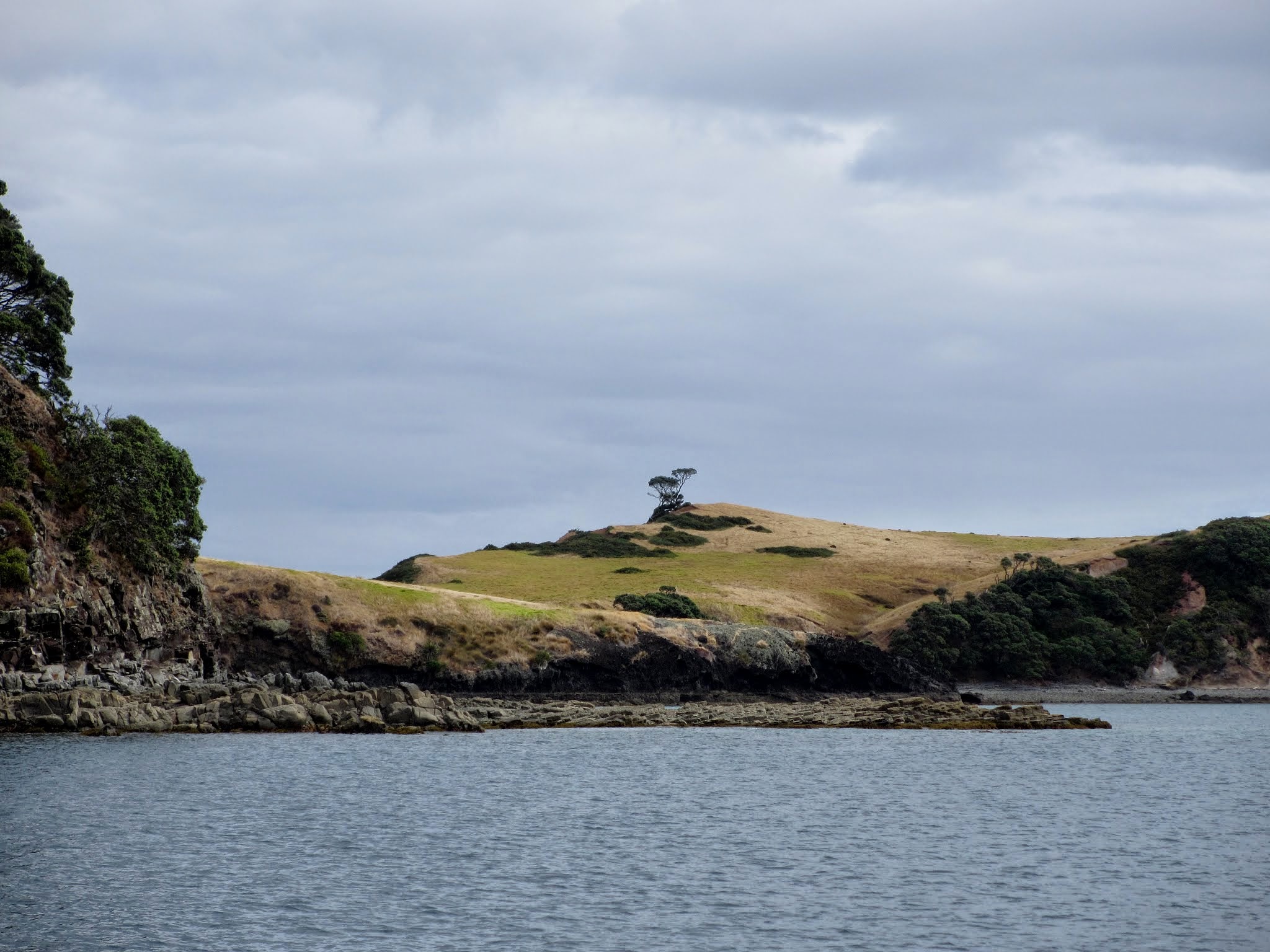
It was time to leave Port Fitzroy and see some other parts of Great Barrier Island. We headed south to exit the area via the Man of War Passage, a narrow passage between Kaikoura Island (which encloses/creates the harbor of Port Fitzroy) and the mainland. The channel gets very narrow and we had to be on our toes.
Before we headed through the pass, we had a good look at some of the other bays in the area, including the famous Smokehouse Bay which is beloved by cruisers for the fresh water, bathtub, laundry tubs, and fish-smoking apparatus supplied free for anyone who anchors there. It was fun to see this famous bay, but we felt no great need to stop.
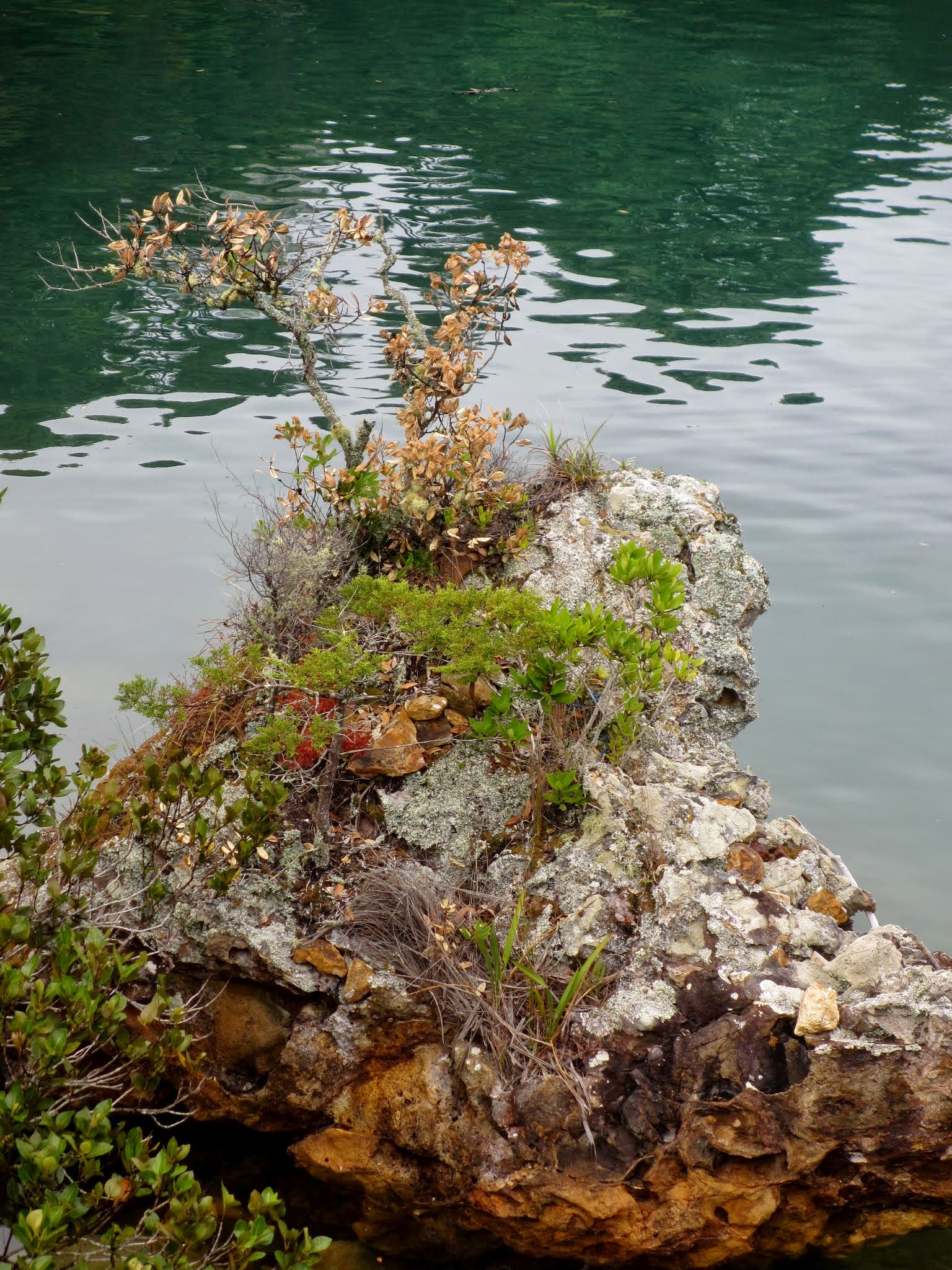
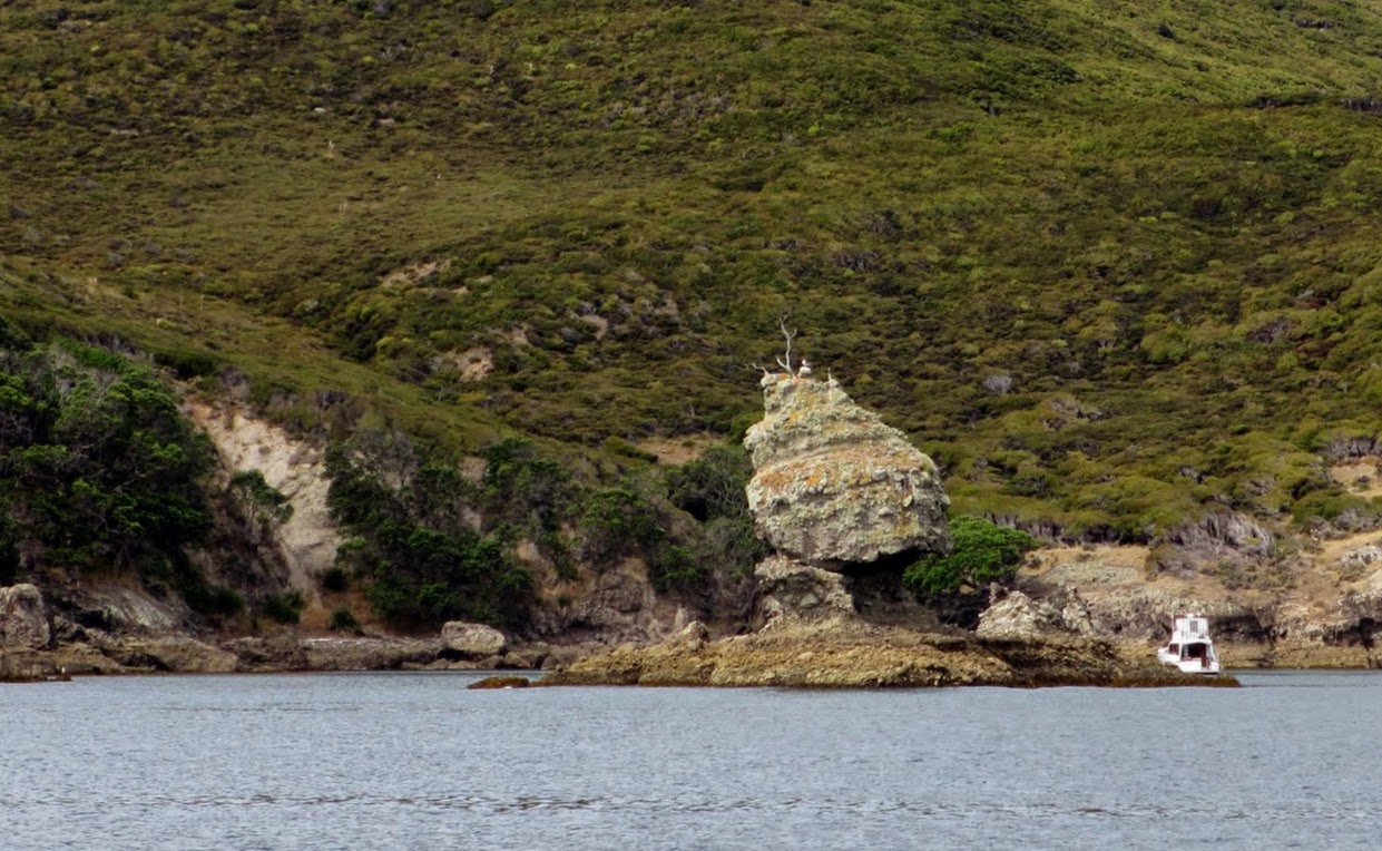
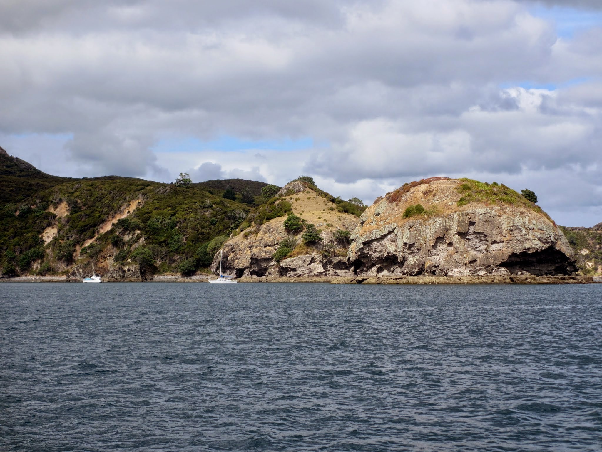
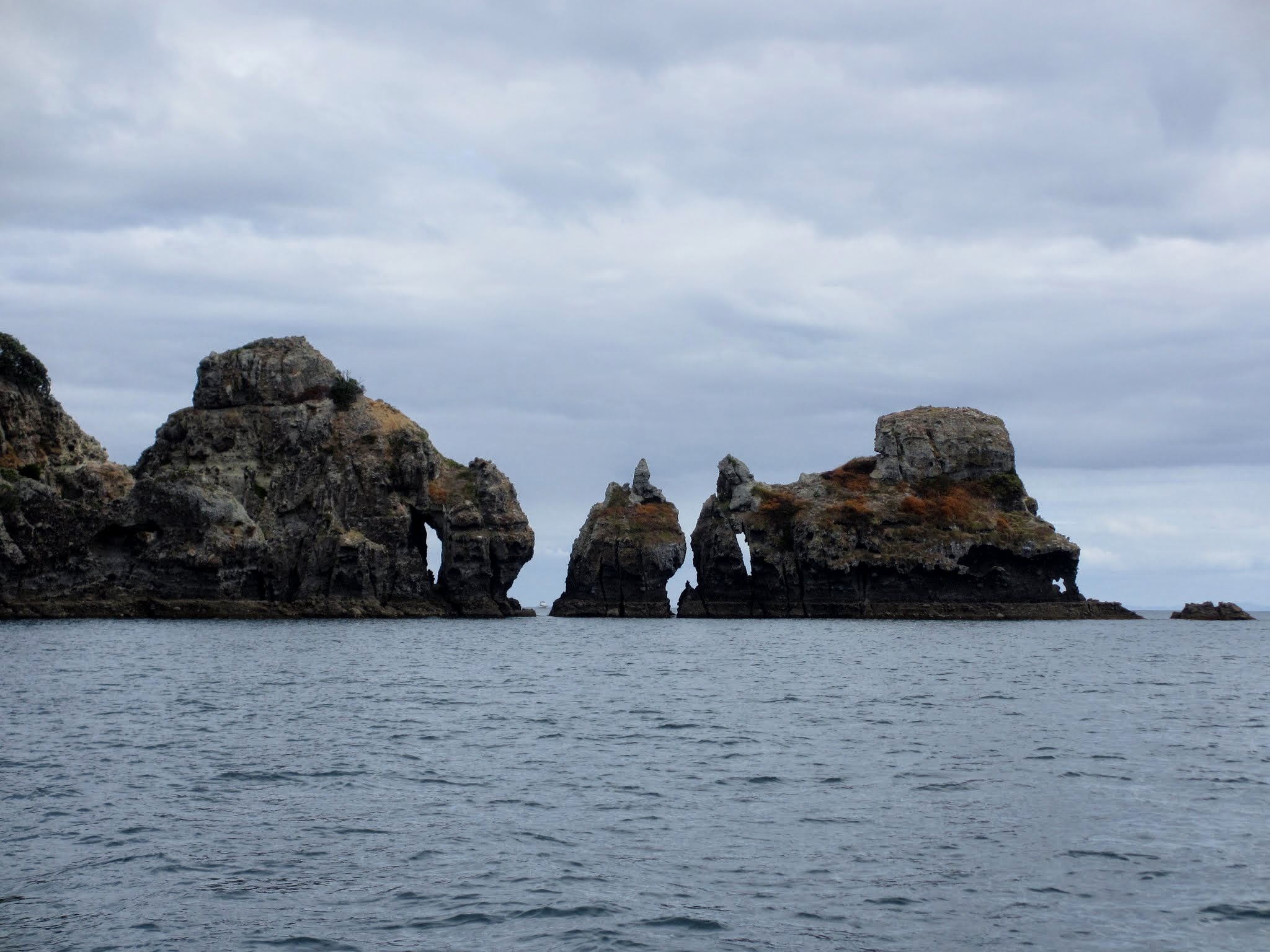
We went out through the pass and headed down the coast inside the Broken Islands group. It’s a good name: they look torn off the land like chunks of bread torn off from a loaf and tossed into the sea. It was a surreal landscape and quite beautiful. We kept hearing about Smokehouse Bay with its bathtub, but we’ve never heard anything about the fantastical Broken Islands. I would love to have anchored here, but time was running short and we needed to stick with our plan.
Above are a few photos of the Broken Islands Group. As always click any to enlarge and scroll.–Cyndi
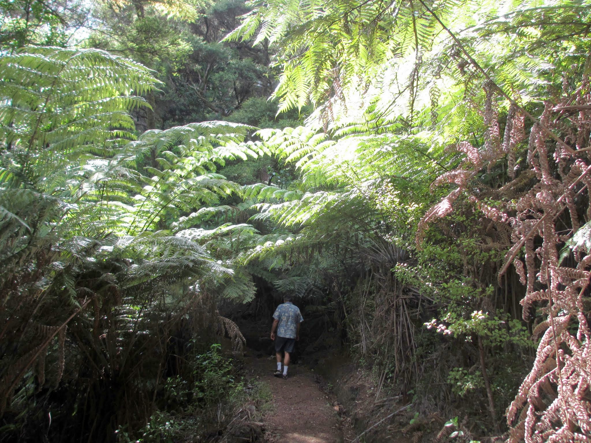
Some of the best trails on Great Barrier Island start from Kaiarara Bay, including one to the top of Mount Hobson, a 6-hour round trip hike needing a “good level of fitness.” Rich and I have a level of fitness, but we weren’t sure we’d call it “good.” It’s hard to determine these sorts of things, but we could look up and see how tall that mountain was and decided when they say fit, they might mean Lance Armstrong fit. So we decided we’d take one of the hikes requiring less exertion.
We went ashore and ran into a nice lady who recommended the Kiwiriki Track. We could take that to the Line W Track, which would take us up to Forest Road. We could walk back and find the Bush Trail heading back to the bay. That sounded like something we could handle. I wasn’t sure what to expect on this walk, but I was hoping to catch sight of a Kaka, the brown parrot of the northern forests of New Zealand.
Landing the dinghy on shore.
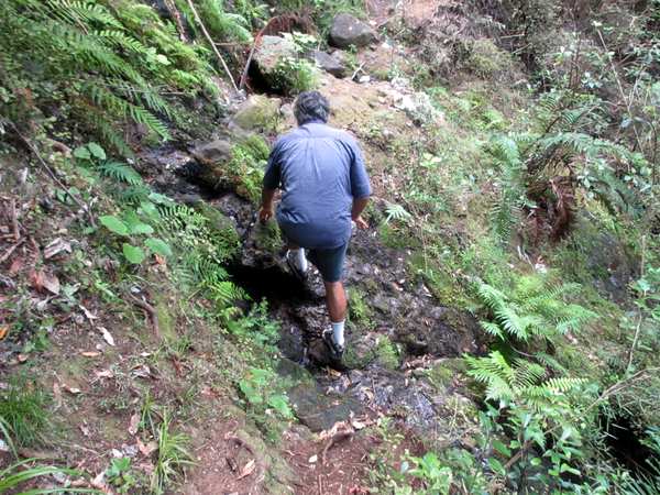
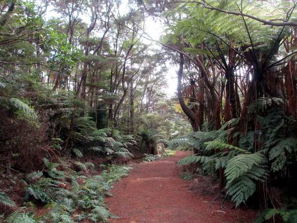
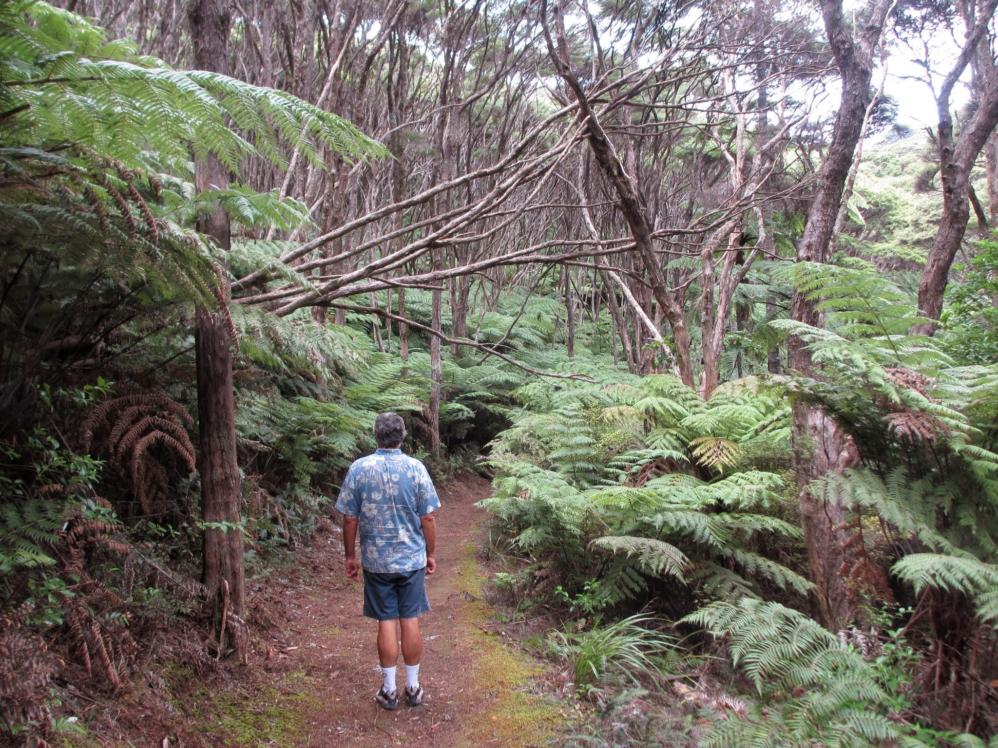
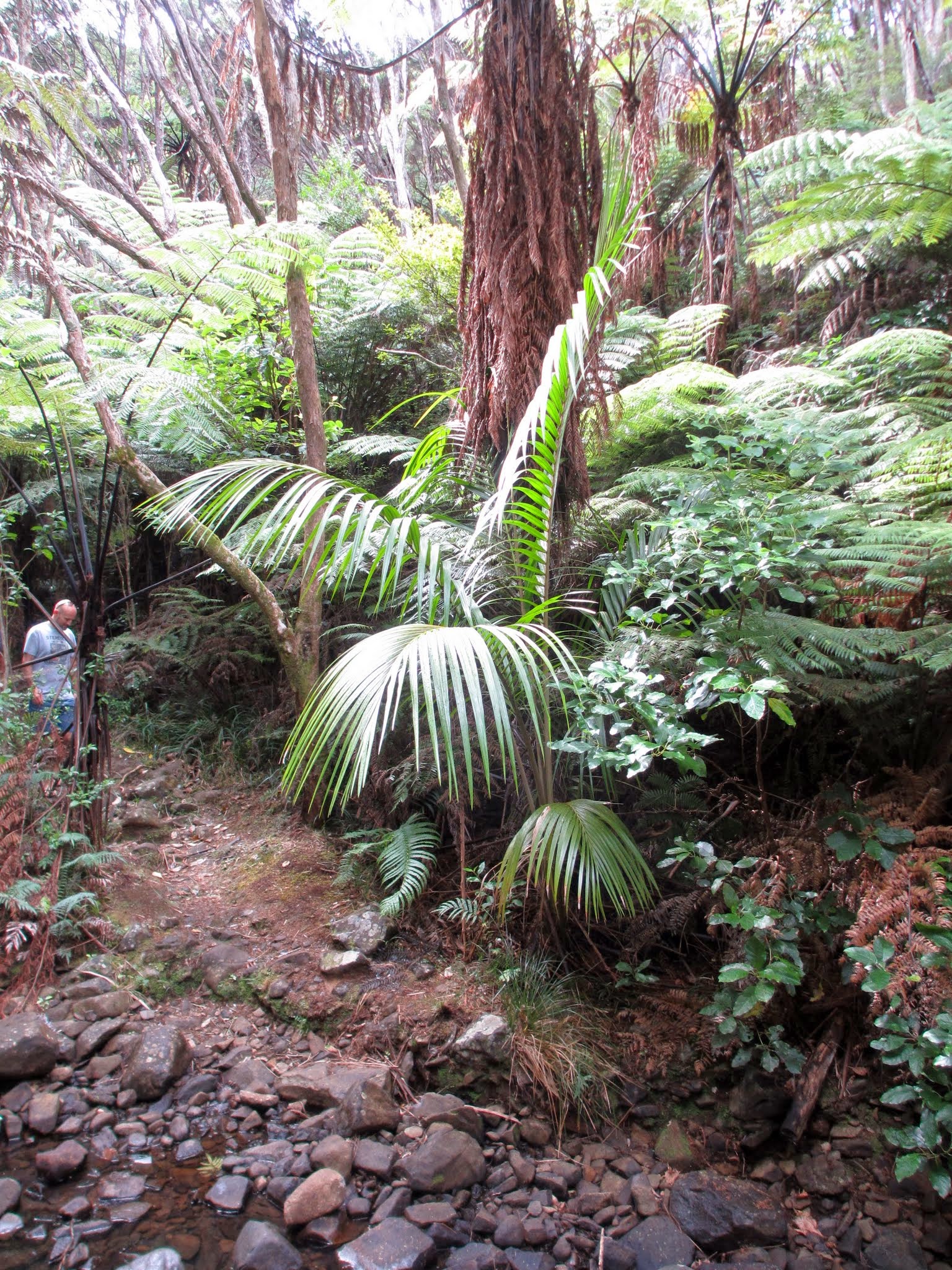
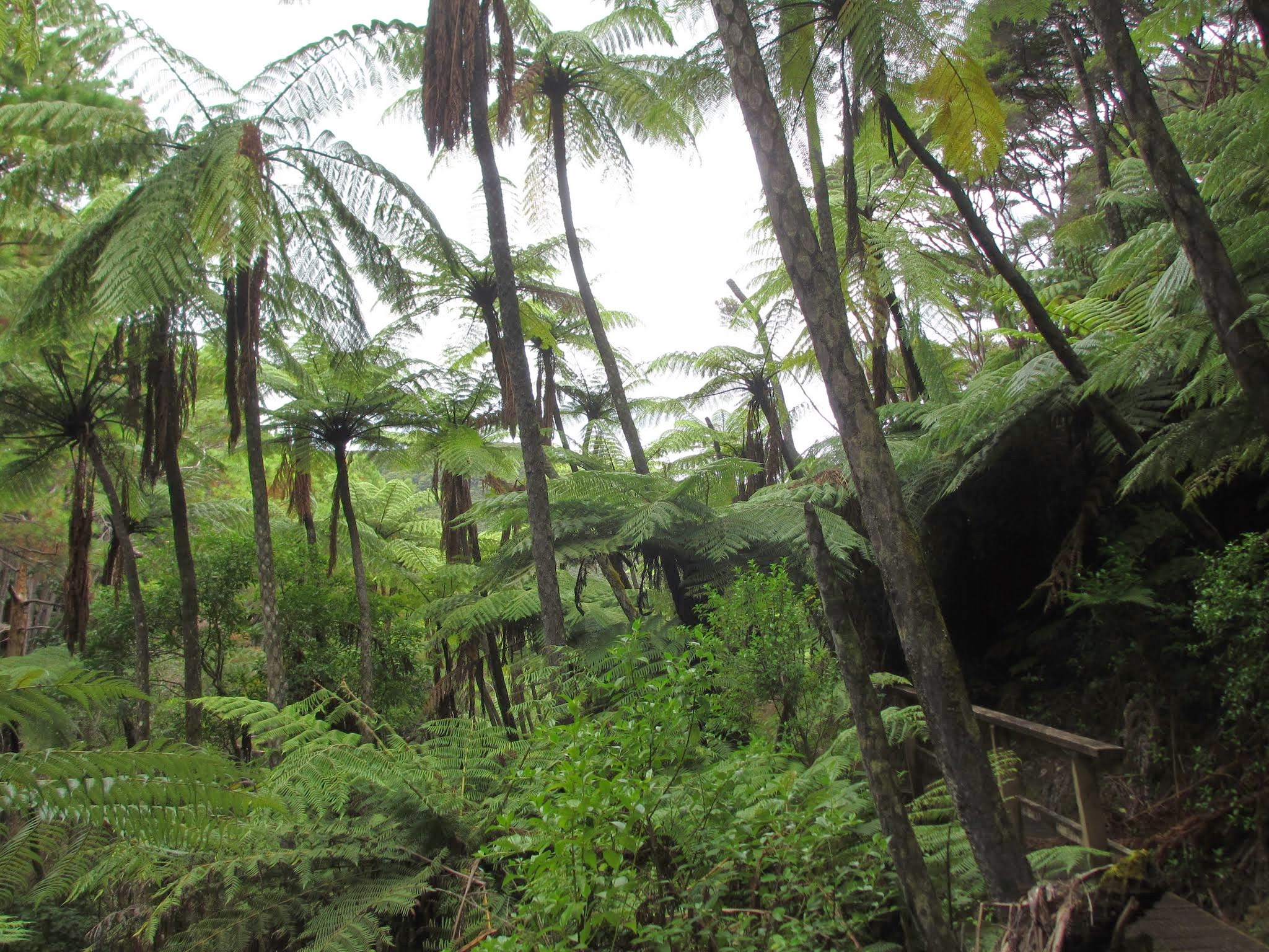
We walked uphill to find the Kiwiriki Trail and began our hike. It soon became apparent that not many people walk here as it was barely visible at times. We’ve found that no matter how many forests you walk through in New Zealand, there’s always something that sets each apart. In this case, we’d been in lush fern forests, but this one had an abundance of palm plants amid the ferns and trees. It was a beautiful walk, although we had to traverse a few streams and it got a little rugged at times. What looked like a short walk took a good half hour, and while I wouldn’t say it required a lot of fitness, it did require some acrobatics. I’ll call it Acrobatic Level 3.
A mixture of tree ferns and palm plants made this forest unique.Rich acrobatically crossing a waterfall stream.
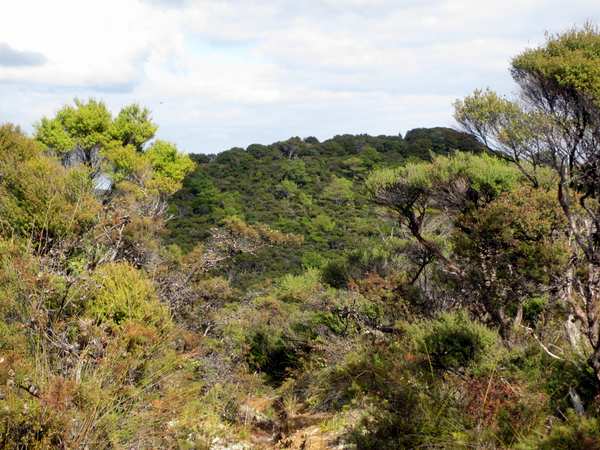
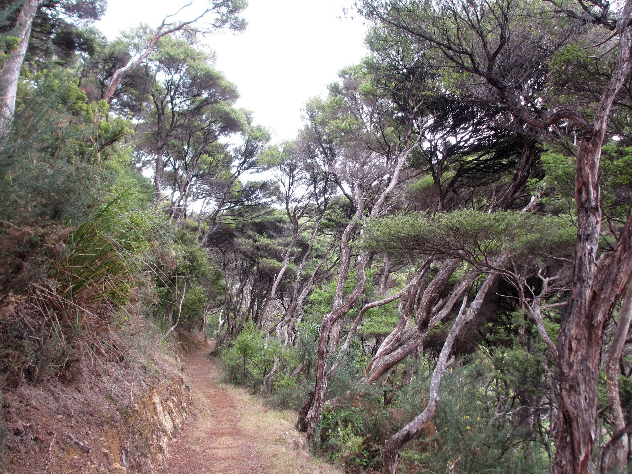
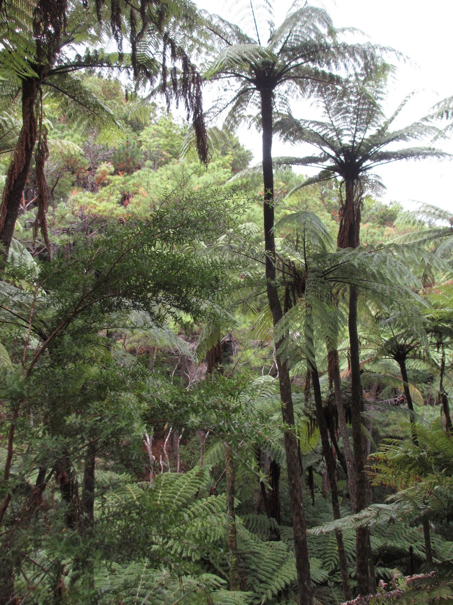
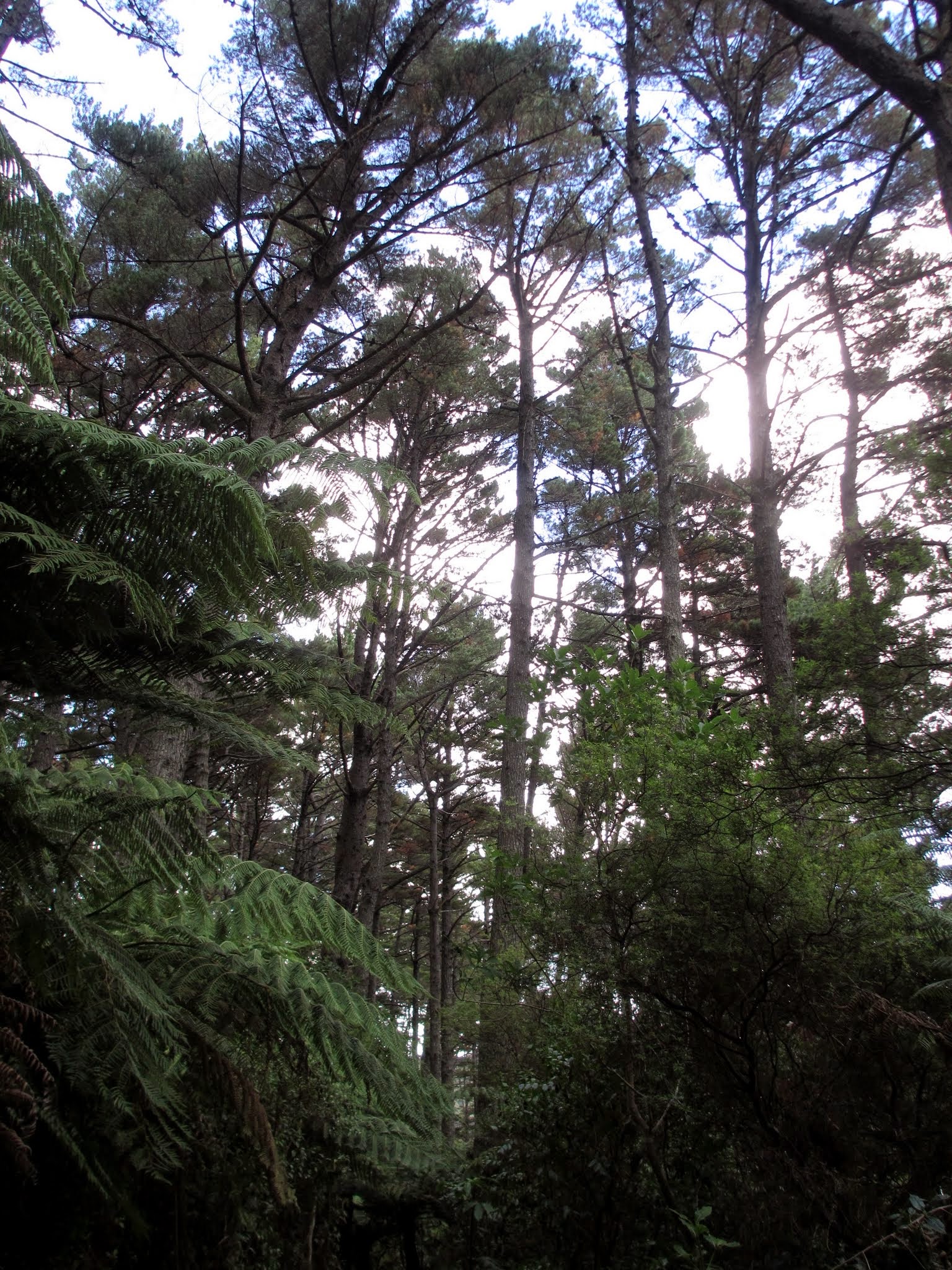
Once we reached the Line W Trail, we began what would be 30-minute uphill walk. The vegetation rapidly changed from fern forest to what I’d call high desert, something I hadn’t really seen in New Zealand.
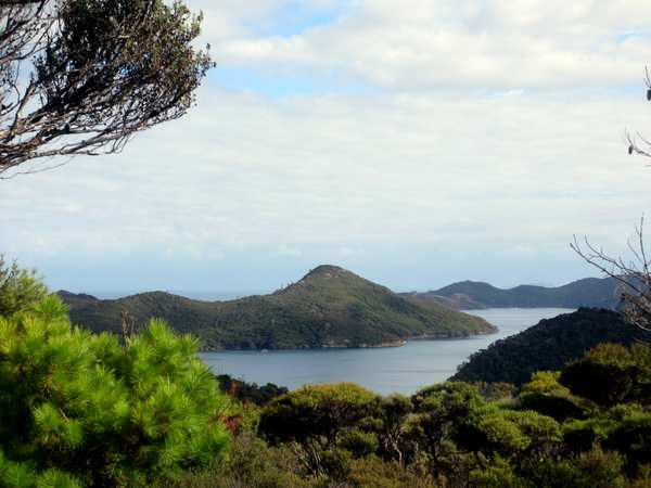
A view from the Line W Trail.Scrubby vegetation on the Line W Trail.A view of Little Barrier Island from Great Barrier Island.
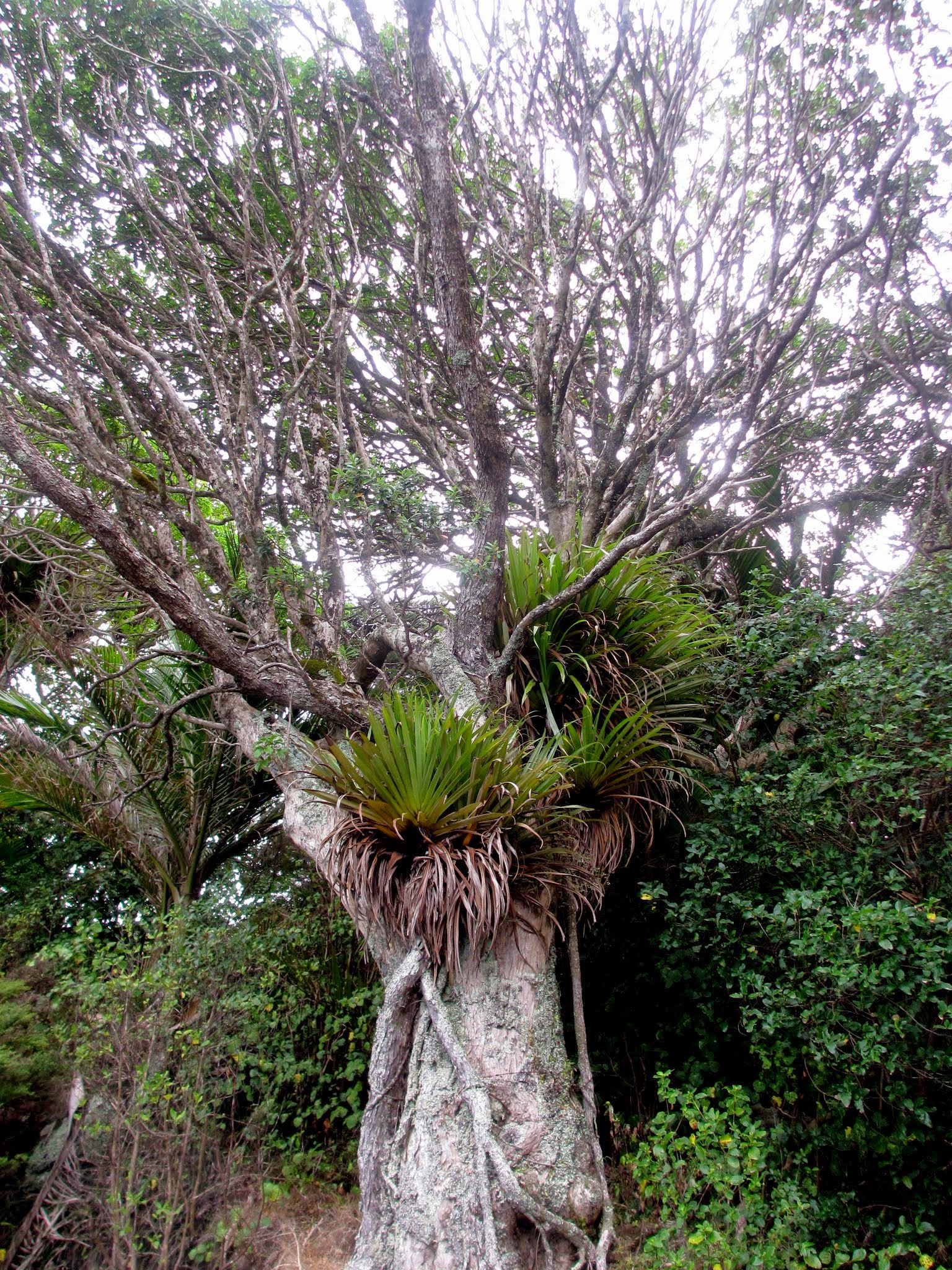
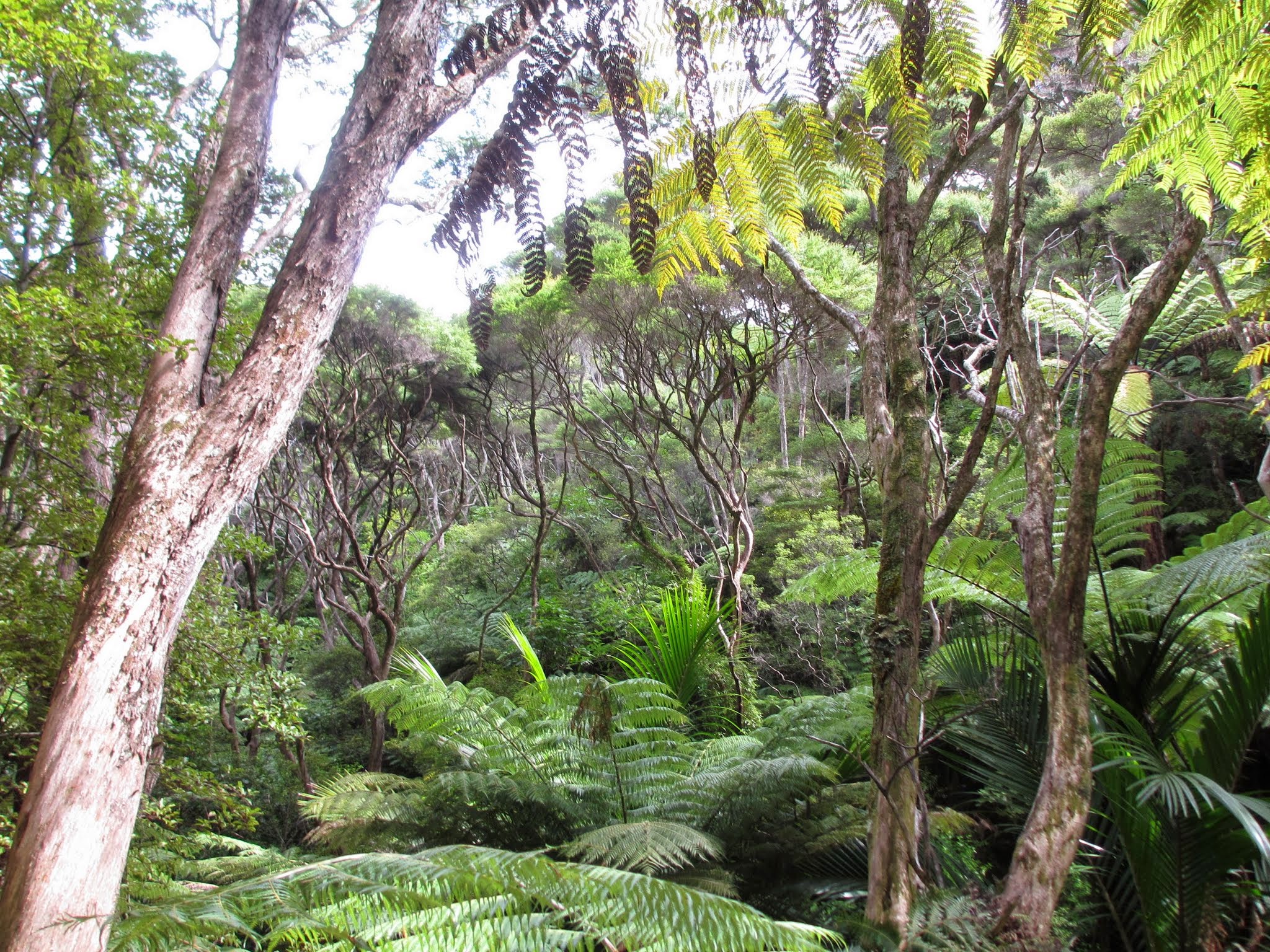
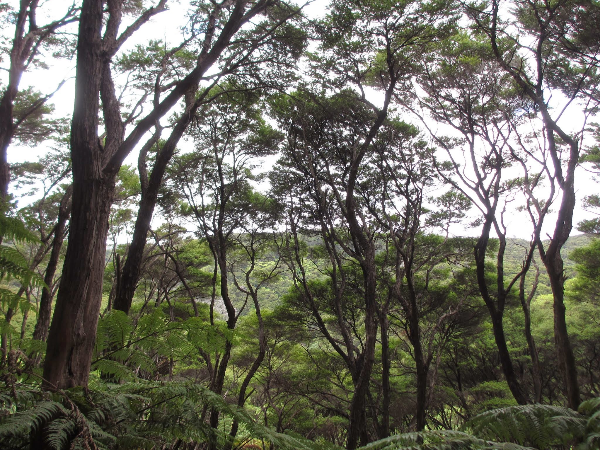
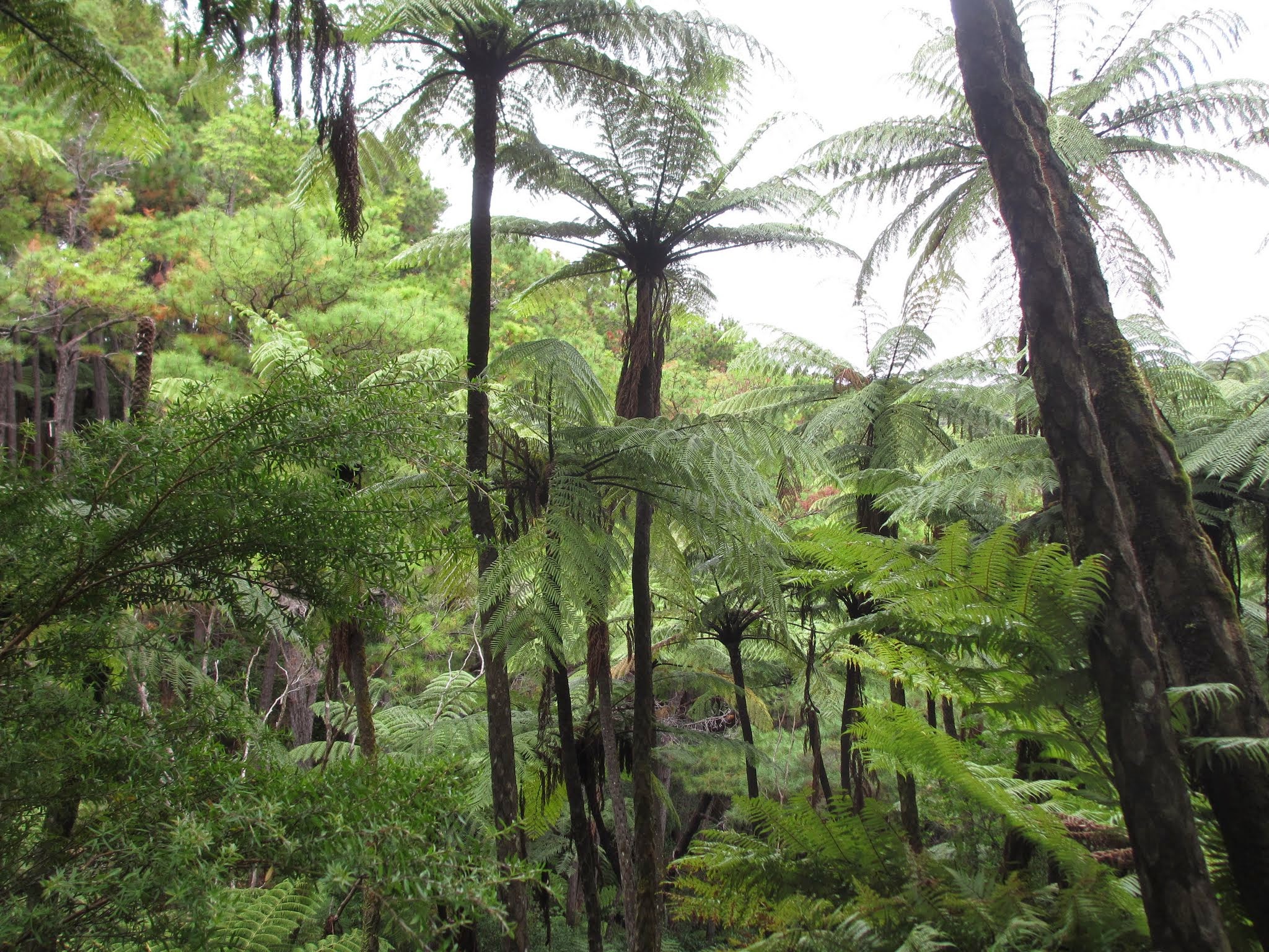
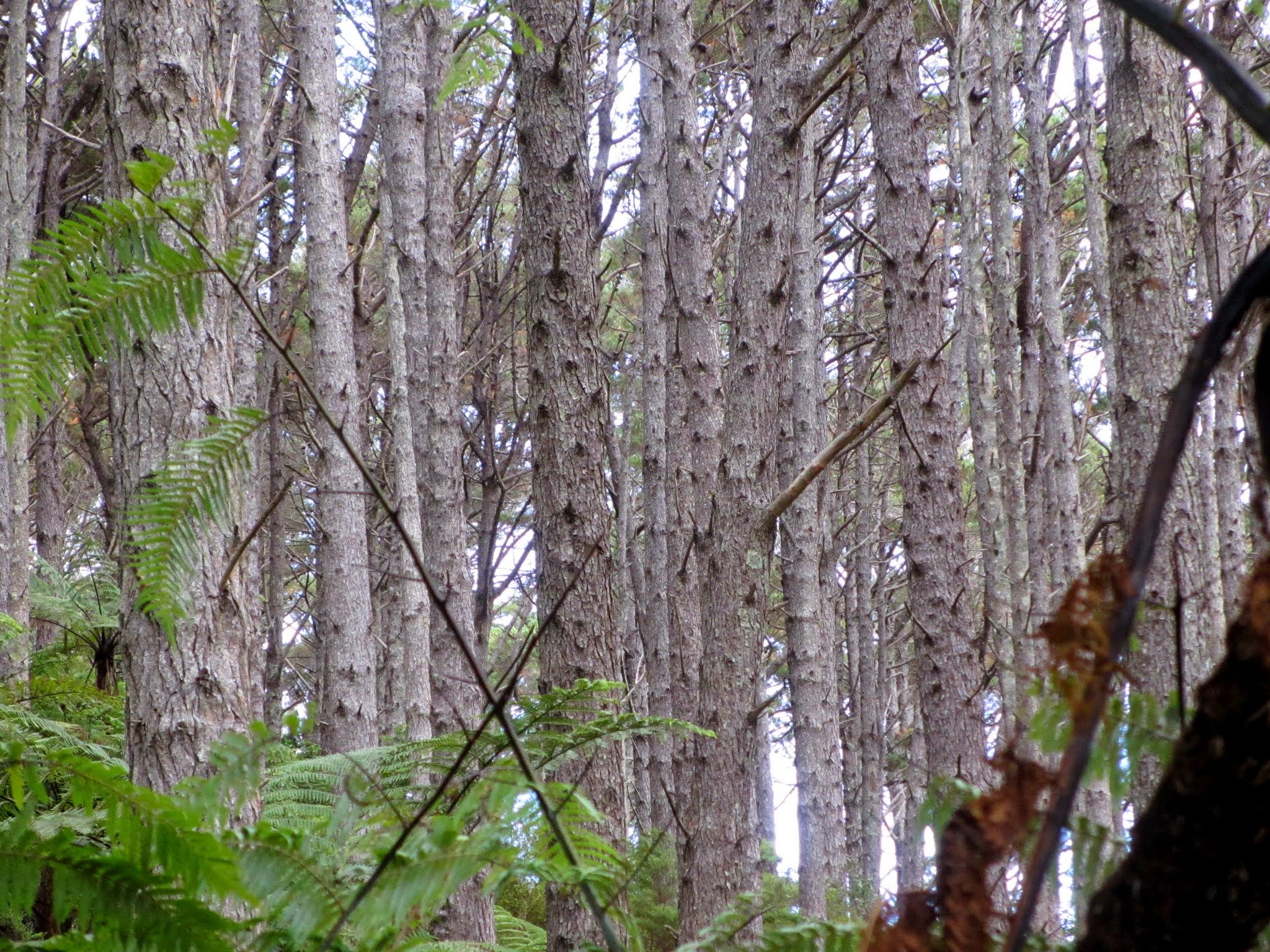
Once we reached the Forest Road, we turned and headed north. As we walked, the drier landscape suddenly reverted back to fern forest, and soon we found ourselves amid kauri trees (New Zealand’s giant trees). This was an unexpected treat as we just expected this to be a plain road. Suddenly from overhead came the parroty cries of kakas. I was so excited I cried out and scared the crap out of Rich. I guess not everyone screams if they see a rare bird. (Tip for Kiwis: If you’re in the forest with an American, try not to scream as for us it means bear, alligator, snake, scary spider, skunk, or Dick Cheney with a gun).
The lush growth on the Forest Road.Tree ferns along the Forest Road.Kauri Trees towered over us on the Forest Road.
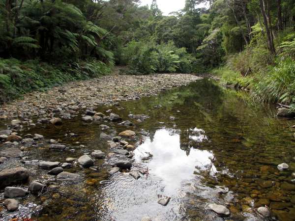
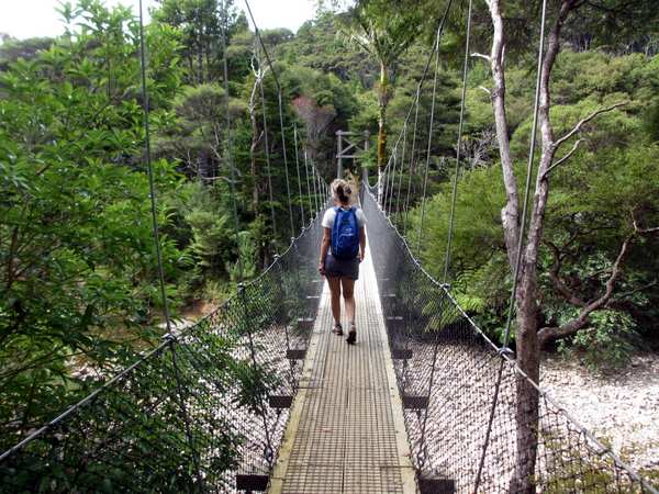
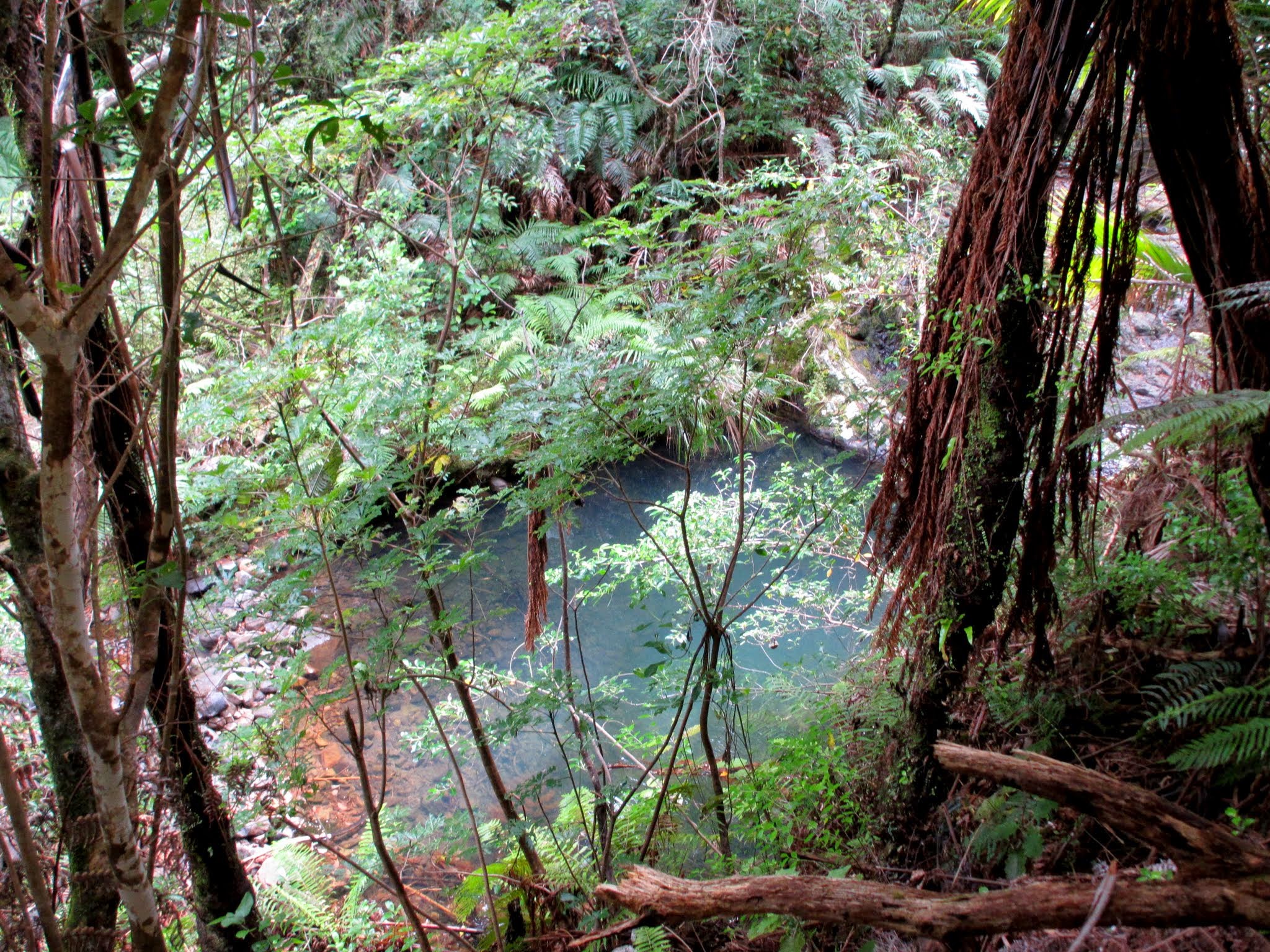
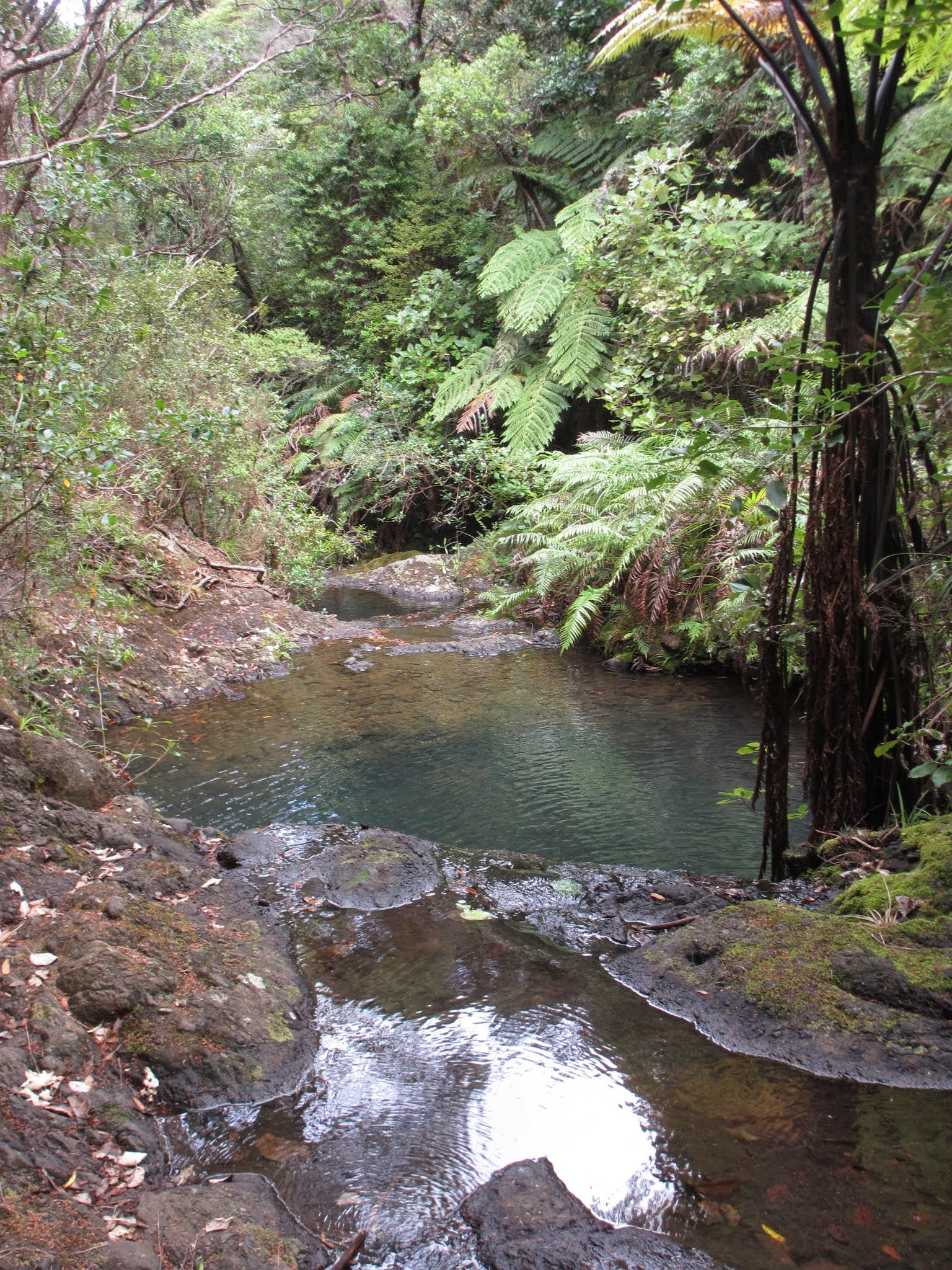
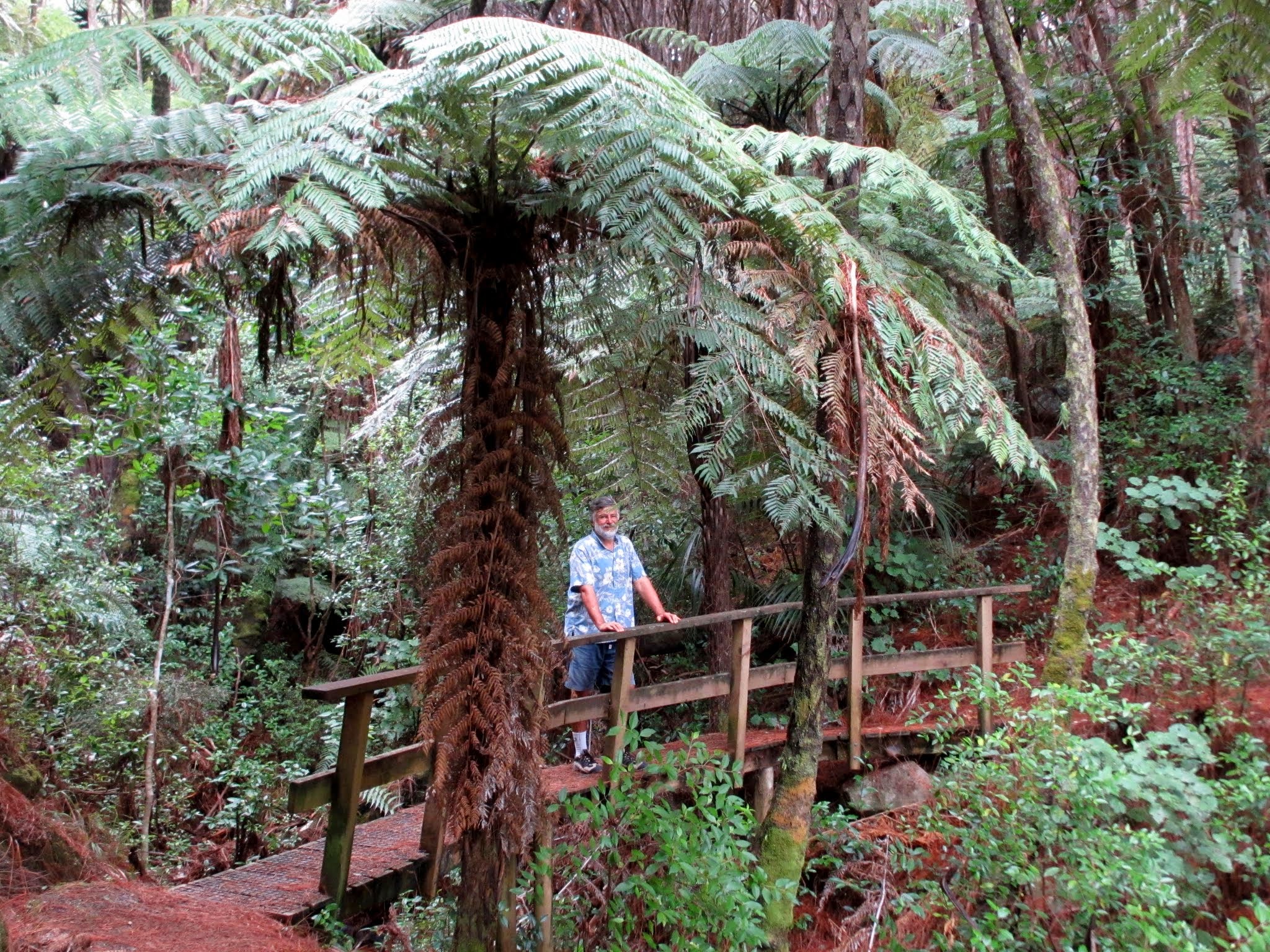
We continued our walk and ended up at the Kairaara Hut. I hadn’t realized we’d get to see this and was thrilled to go walk across the suspension bridge nearby.
The river by the Kairaara Hut.A view of the river from the suspension bridge.Walking across the suspension bridge.
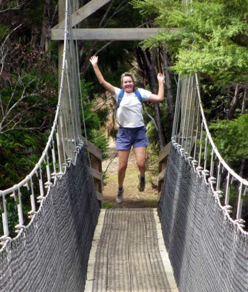
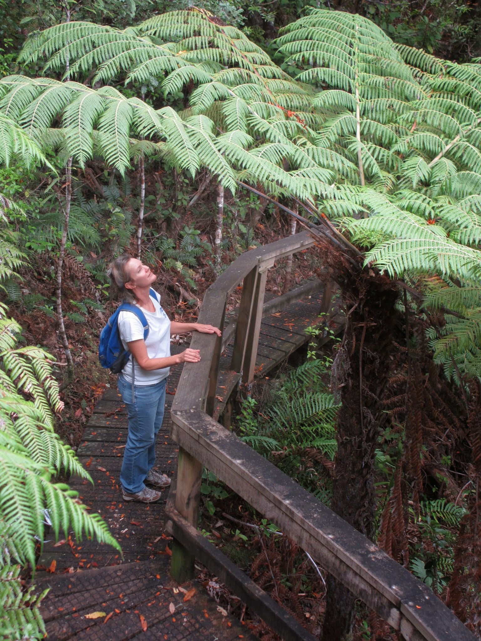
Have you ever notice how some people are more thrilled by the bouncy fun of a suspension bridge than others?
Cyndi having fun on the bouncy suspension bridge.Rich having less fun on the bouncy suspension bridge.
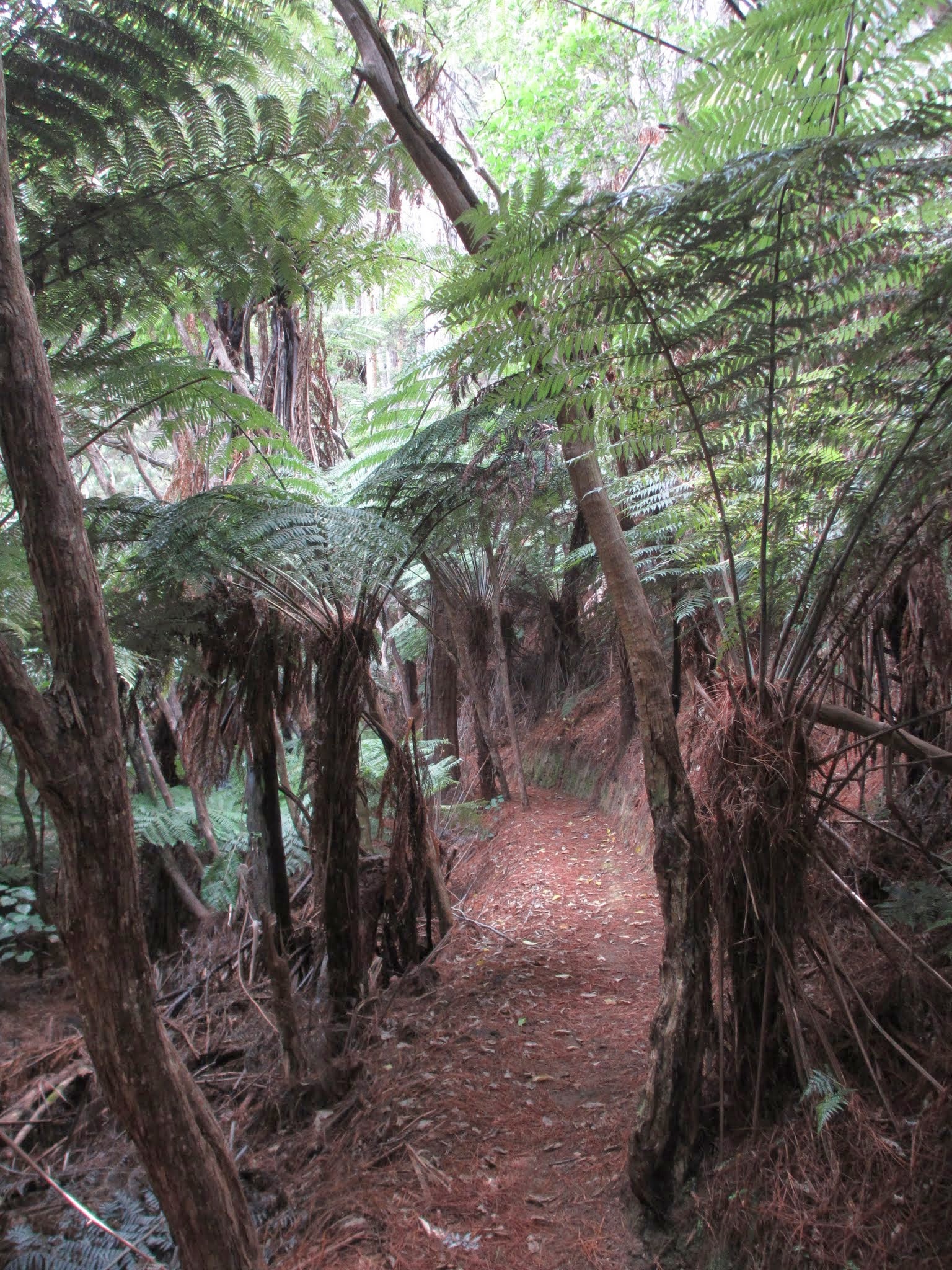
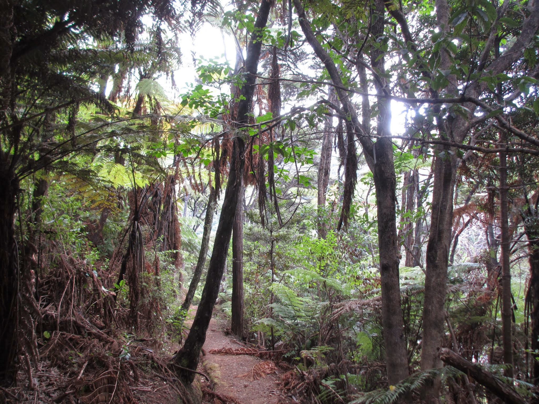
After having fun on the bridge, it was time to head back to our bay. We followed the Bush Trail though beautiful forest and got a closer look at a flock of kakas that landed in the trees above us.
The Bush Trail led back towards our bay.Rich enjoying the Bush Trail.Grassy forest along the Bush Trail.
In all, this had been a three-hour hike, and it took our last reserves of strength to get our dinghy to the water and then climb aboard our boat. We were glad we hadn’t attempted the tougher six-hour hike to the top of Mount Hobson. –Cyndi
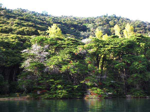
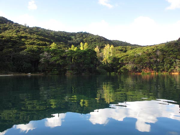
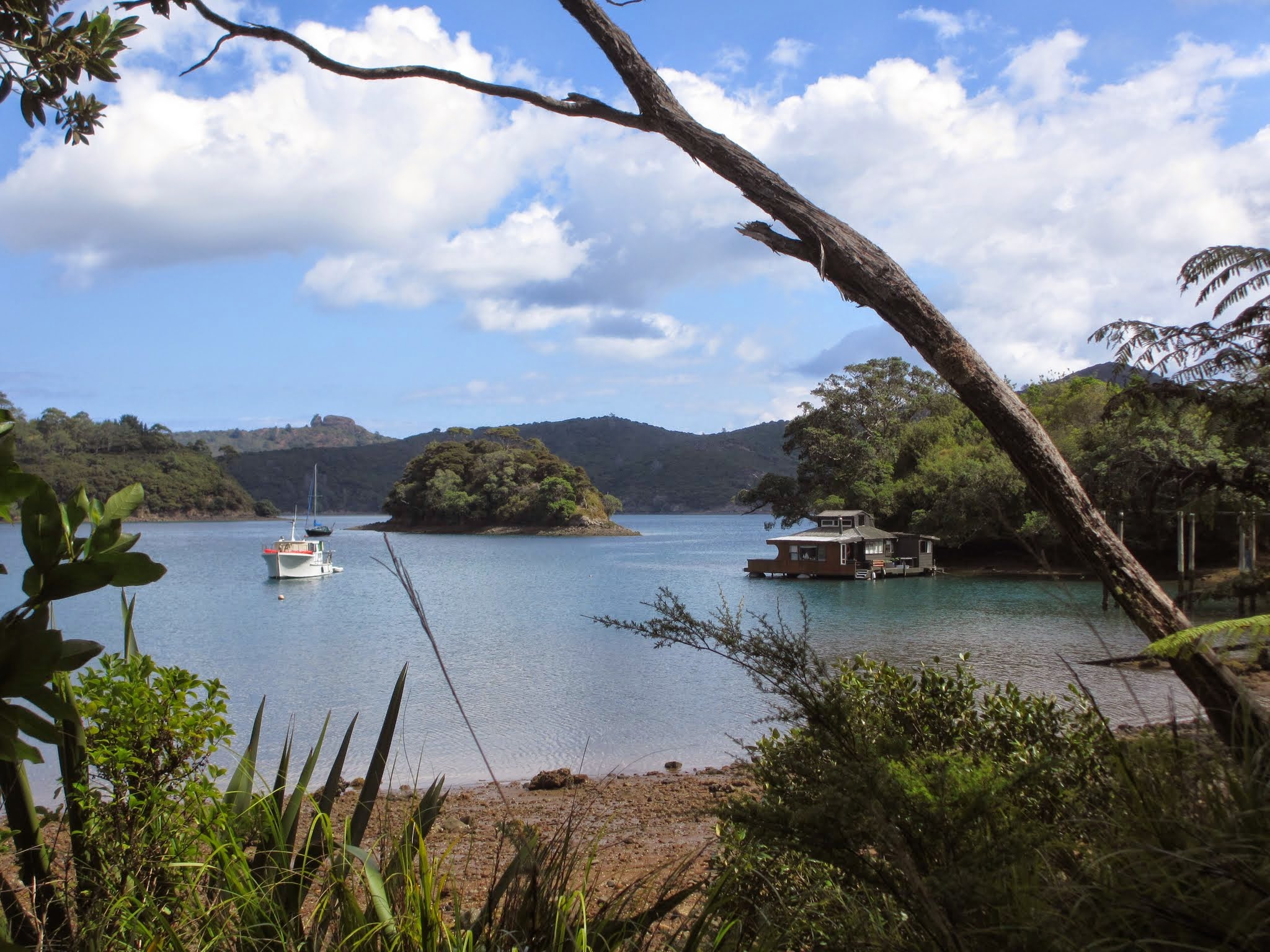
Now that we’d visited the town and done the Loop walk, we decided to head to another bay in the Port Fitzroy area. A friend had raved about Kaiarara Bay, saying it’s his favorite, so we decided to take a look. It would be a fast trip as Kaiarara Bay was the next bay over from Rarohaha Bay (our current location).
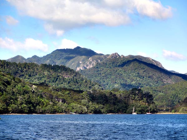
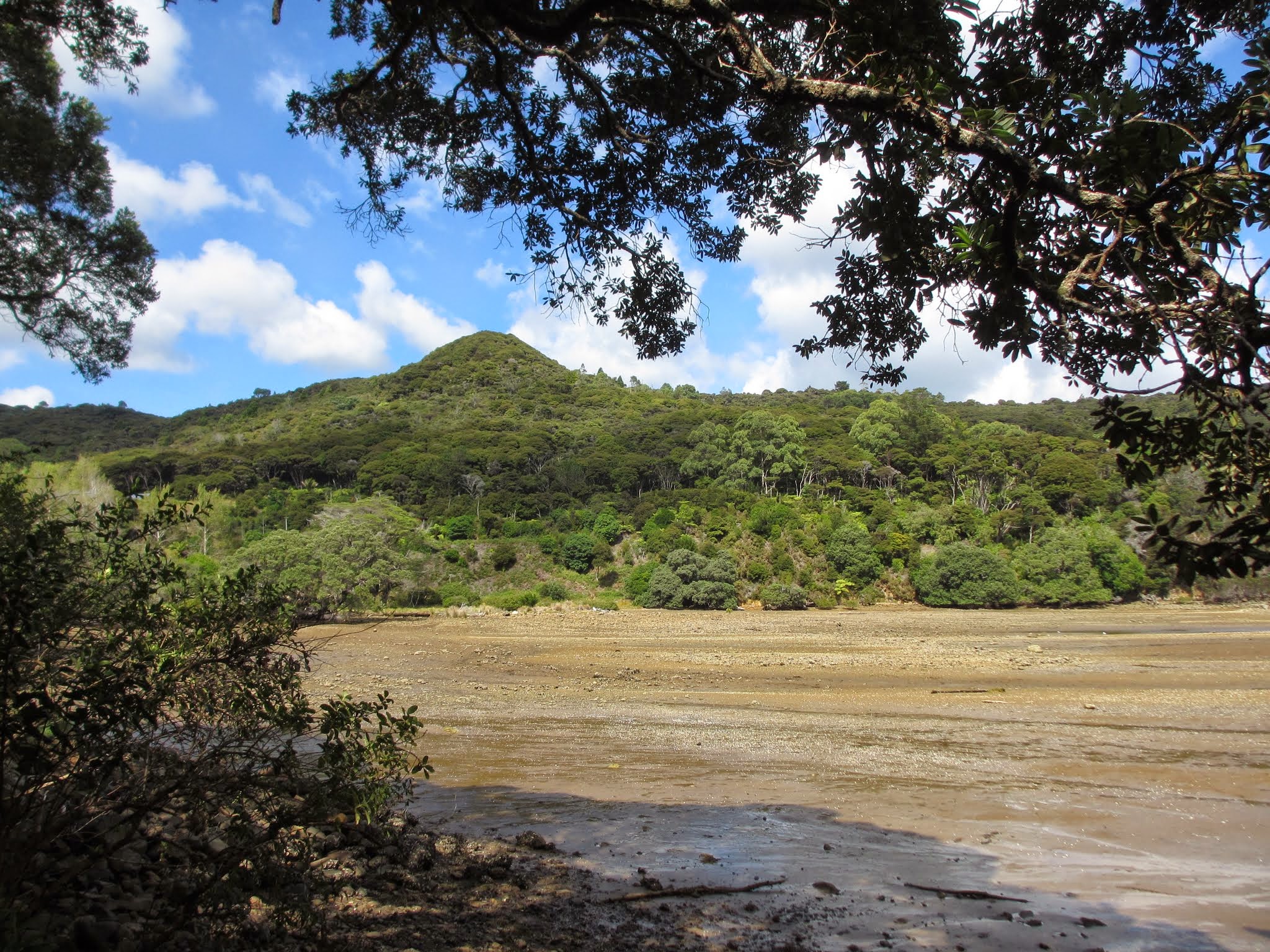
It was impressive to come around the corner and see the majestic Mount Hobson as part of the backdrop scenery of Kaiarara Bay. The bay itself was big and the landscape thickly forested, but there was a small beach onshore with access to walking trails. Right then and there we decided it was worth a stop.
Tomorrow we’d go hiking, but today we’d just enjoy the beautiful mountain scenery from the boat. –Cyndi
A view of Mount Hobson as we entered Kaiarara Bay. (Great Barrier Island, New Zealand)Thick forest along the shoreline of Kaiarara Bay. (Great Barrier Island, New Zealand)The nearby shoreline of Kairara Bay and a small beach where you can land a dinghy. (Great Barrier Island, New Zealand)
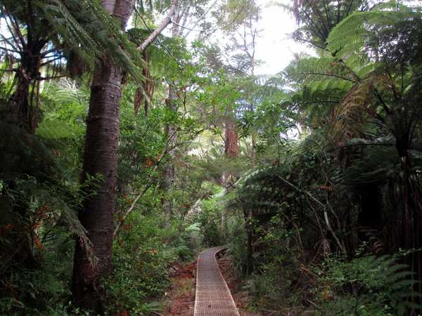
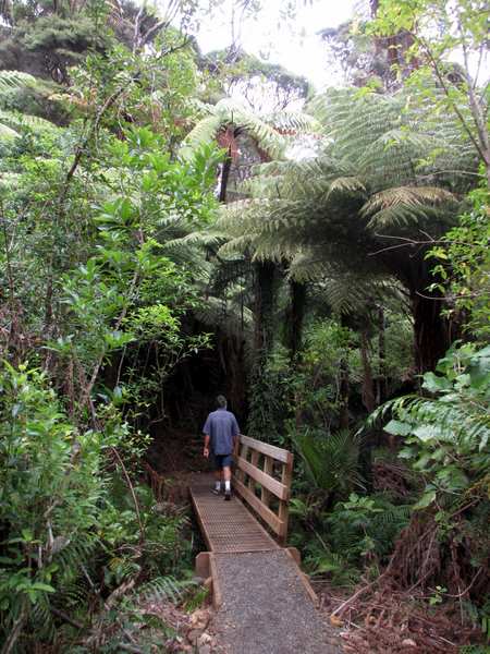
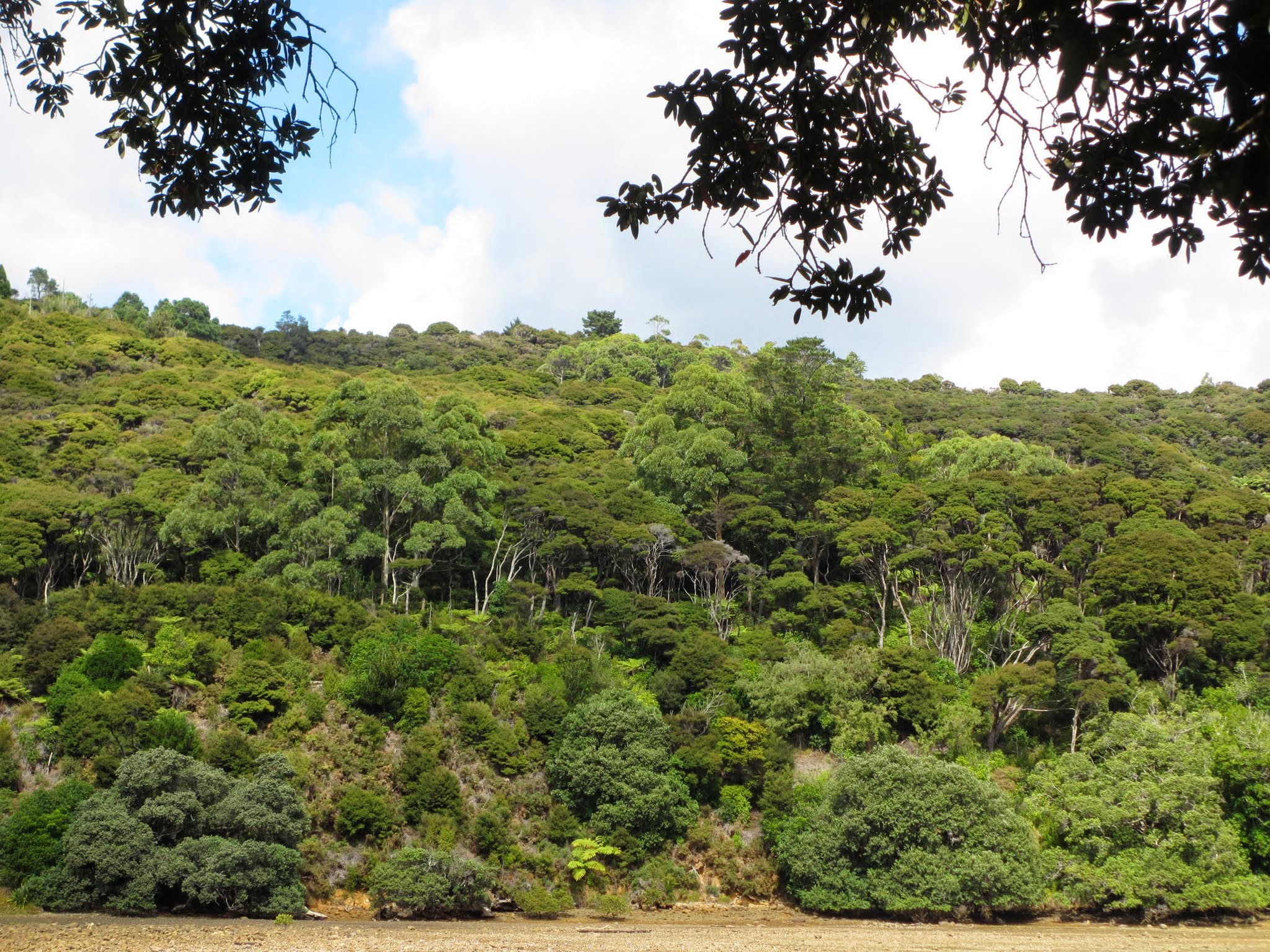
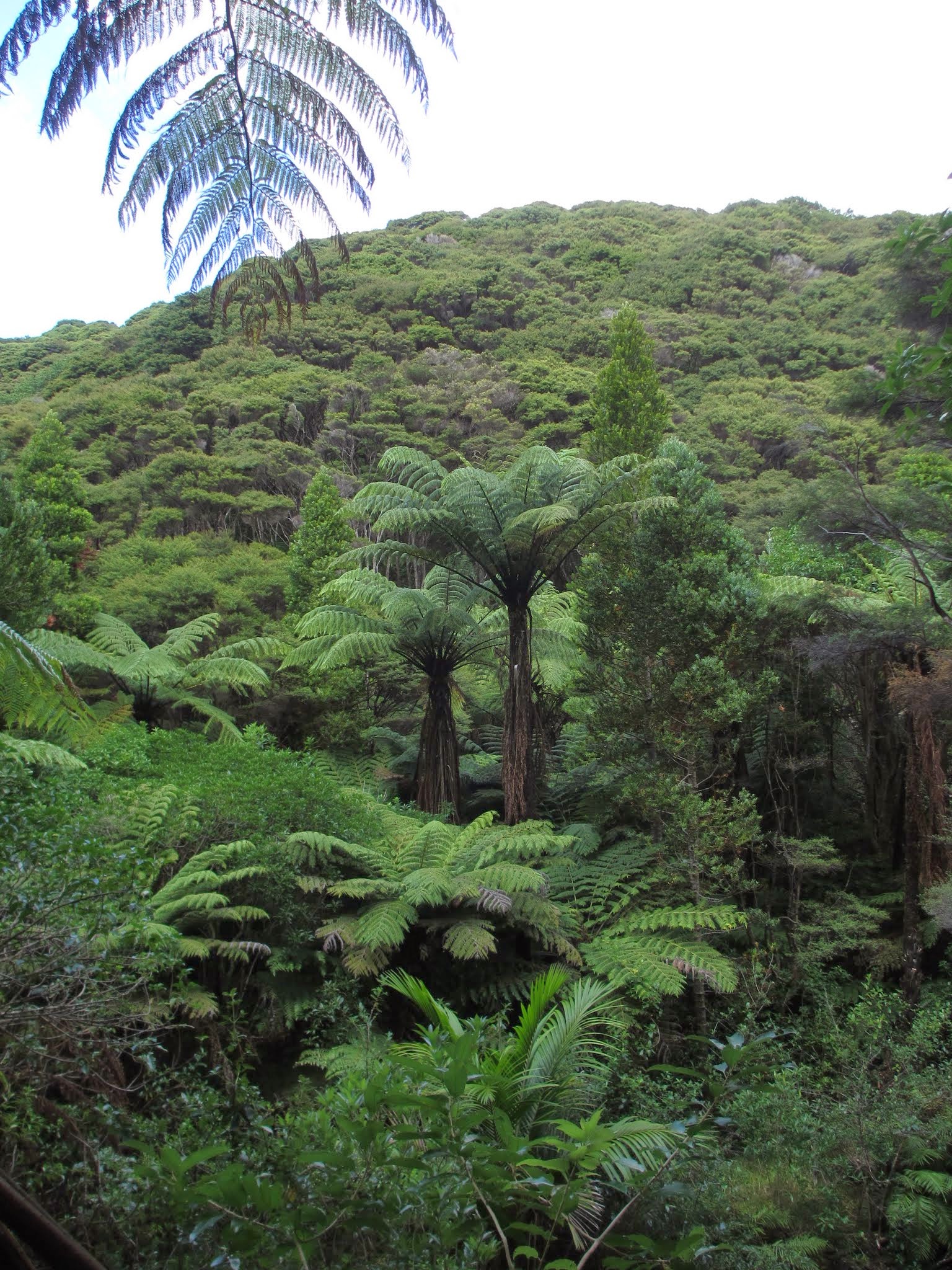
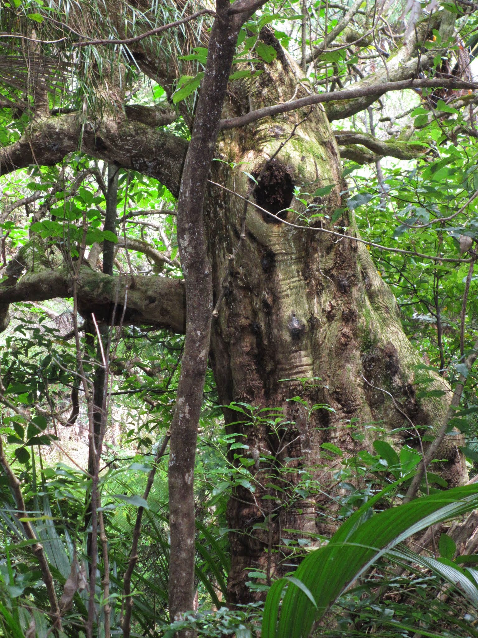
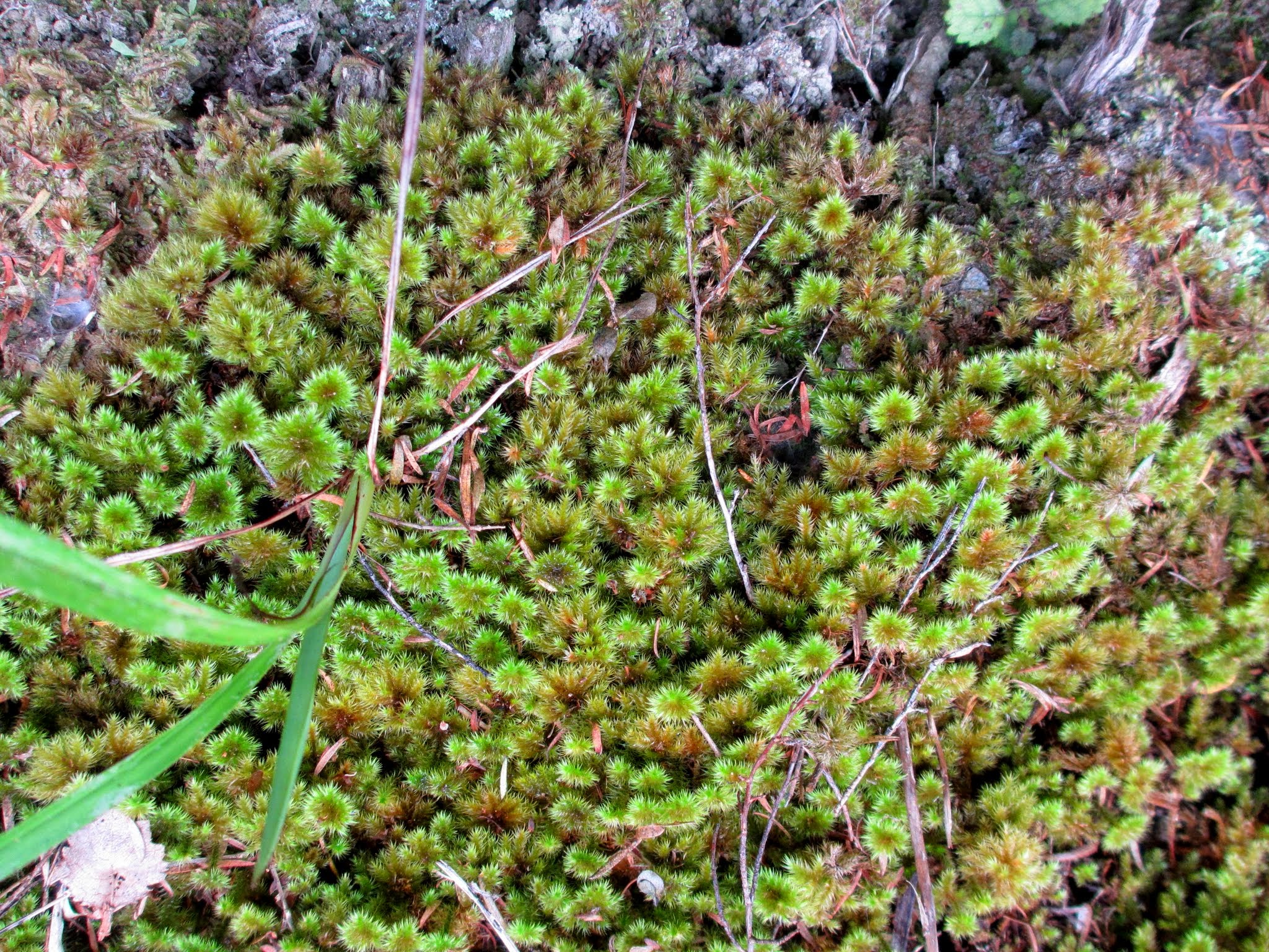
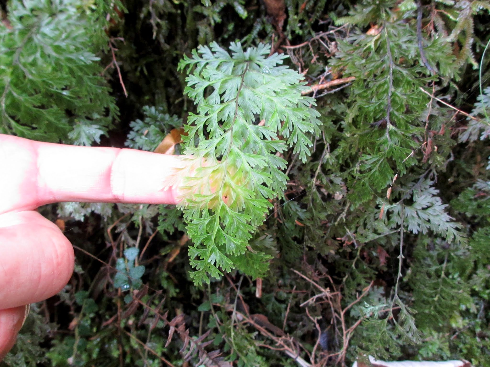
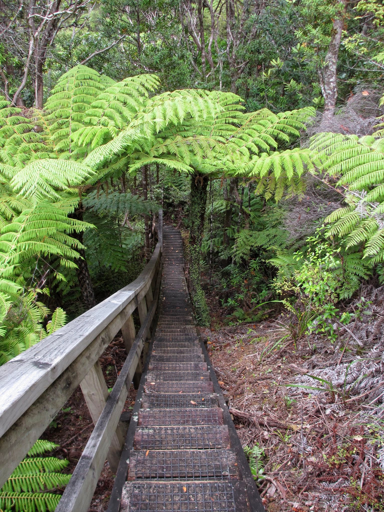
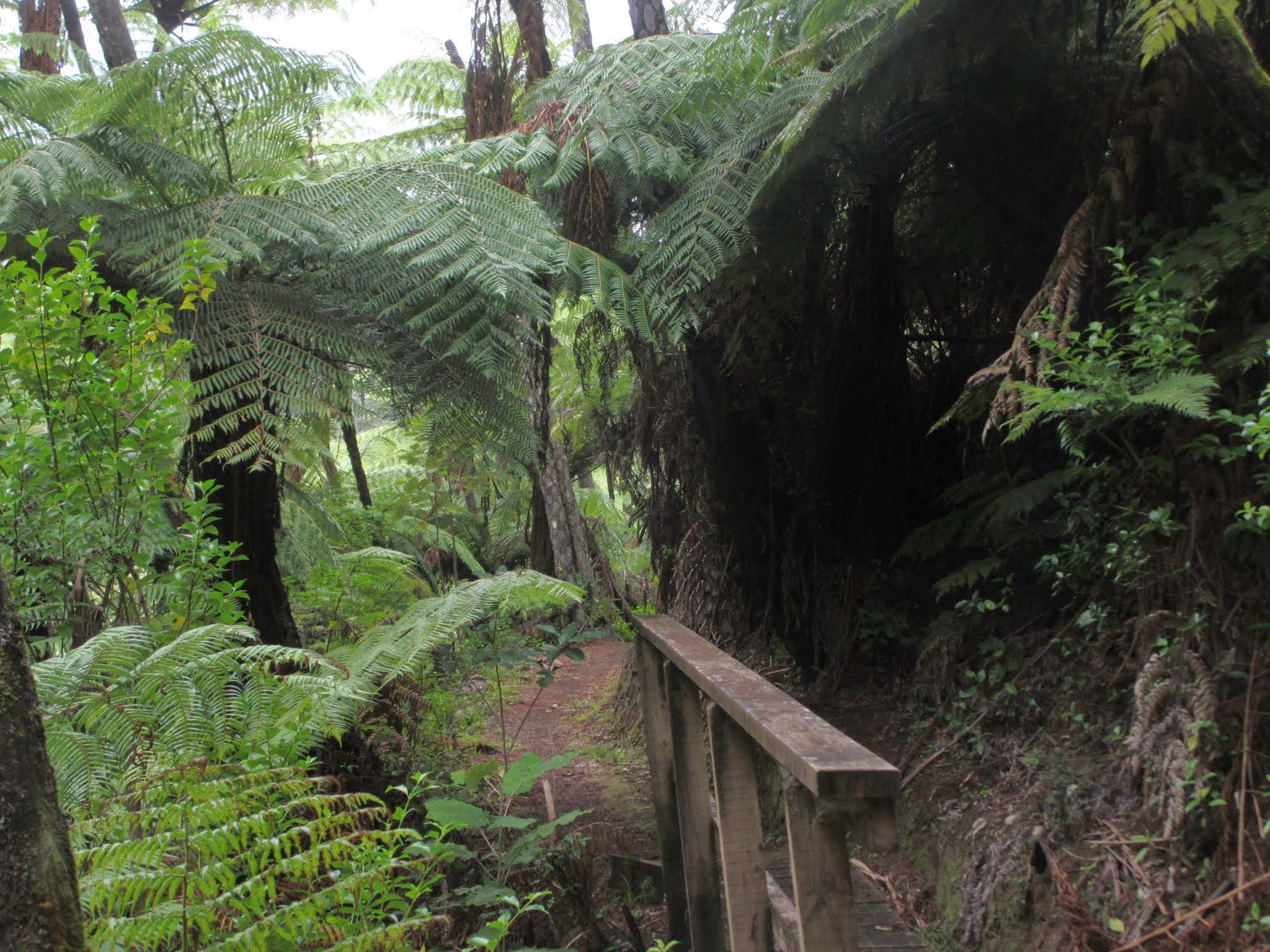
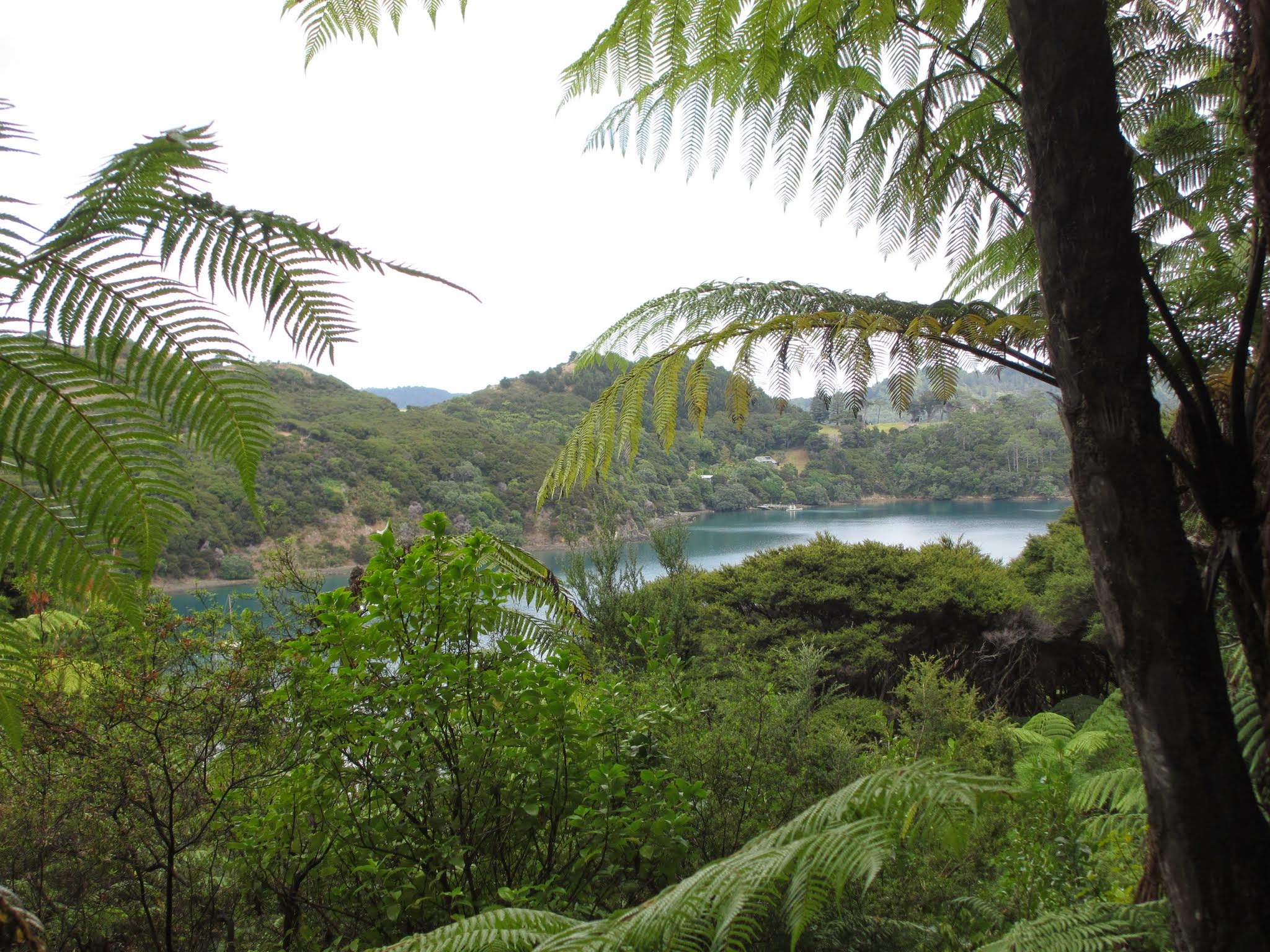
We took our first hike on Great Barrier, opting to do the Loop Track which combines two different trails. If I could describe it in two words, it would be subtropical jungle. I’m not sure this is technically accurate, but this is how I’d describe it. It’s lush and green and very beautiful. The pictures sum it up better than I can.
Above is a gallery of photos from the way. As always, click to enlarge and scroll. –Cyndi