
May 27, 2018
There are new satellite images of Fiji! Yay!
I’ve found it really hard to get good satellite images of Fiji so from time to time, I look to see if there’s any new stuff. Yep. There is.
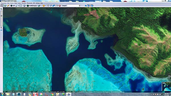
The one above is from ESRI ArcGIS.imagery displayed on SAS.Planet. Look Ma, no clouds! There are even images of Savusavu with no clouds.
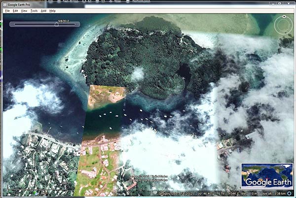
Below is what it used to look like…
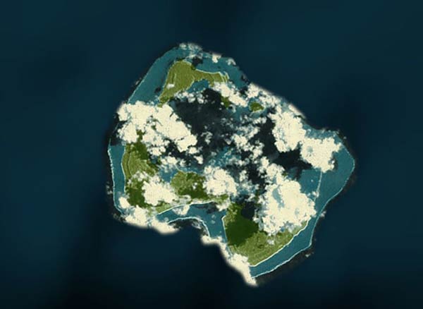
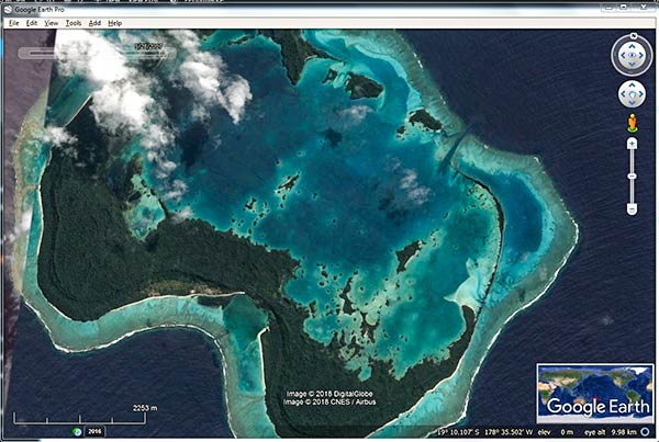
But all is not perfect in satellite-image-world. Below is the ESRI image of Fulaga…
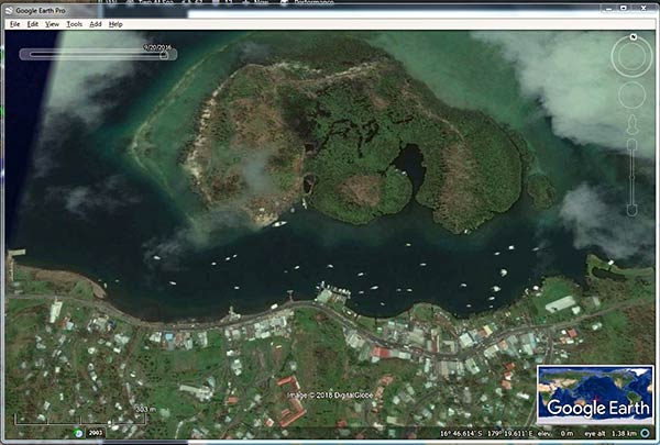
While Google Earth (historical imagery) now has a pretty good picture of Fulaga…
The moral of the story – we still have to hunt around for the best images of Fiji, but it’s getting better. -Rich


